 Geobru catalogue
federal government
Type of resources
Available actions
Topics
INSPIRE themes
Keywords
Contact for the resource
Provided by
Years
Formats
Representation types
Update frequencies
status
Service types
Scale
Resolution
-

This AtomFeed download service provides access to datasets of GAPD that are reported under the INSPIRE Directive. The datasets can be accessible for free or under conditions.
-
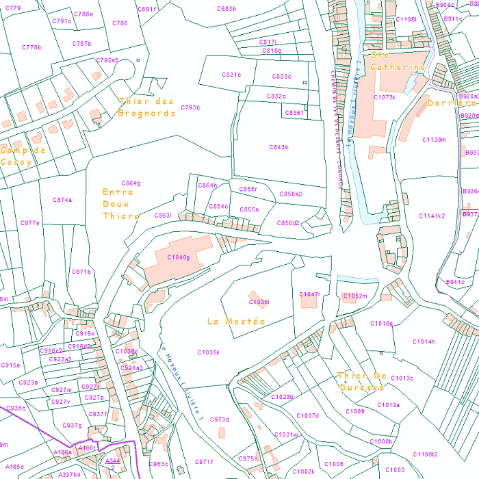
This web service provides the download per object of the datasets Administrative units - current situation and Land register plan - current situation. This webservice does not comply with the INSPIRE specifications, and the datasets to which it gives access do not comply with the INSPIRE specifications.
-
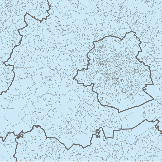
The data set presents in the form of polygons the breakdown of Belgium in almost 20,000 statistical sectors. The statistical sector is the basic territorial unit resulting from the subdivision of the territory of municipalities by STATBEL since 1970 for the dissemination of its statistics at a finer level than the municipal level. A statistical sector cannot extend over two municipalities and any point in the municipal territory is part of one and the same statistical sector. The 1970 and 1981 versions are shown in analogue format while the 2001, 2011, 2018, 2019 etc. versions are available in digital vector format. The files can be linked to the data on population, housing and disposable income on the website of Statbel.
-
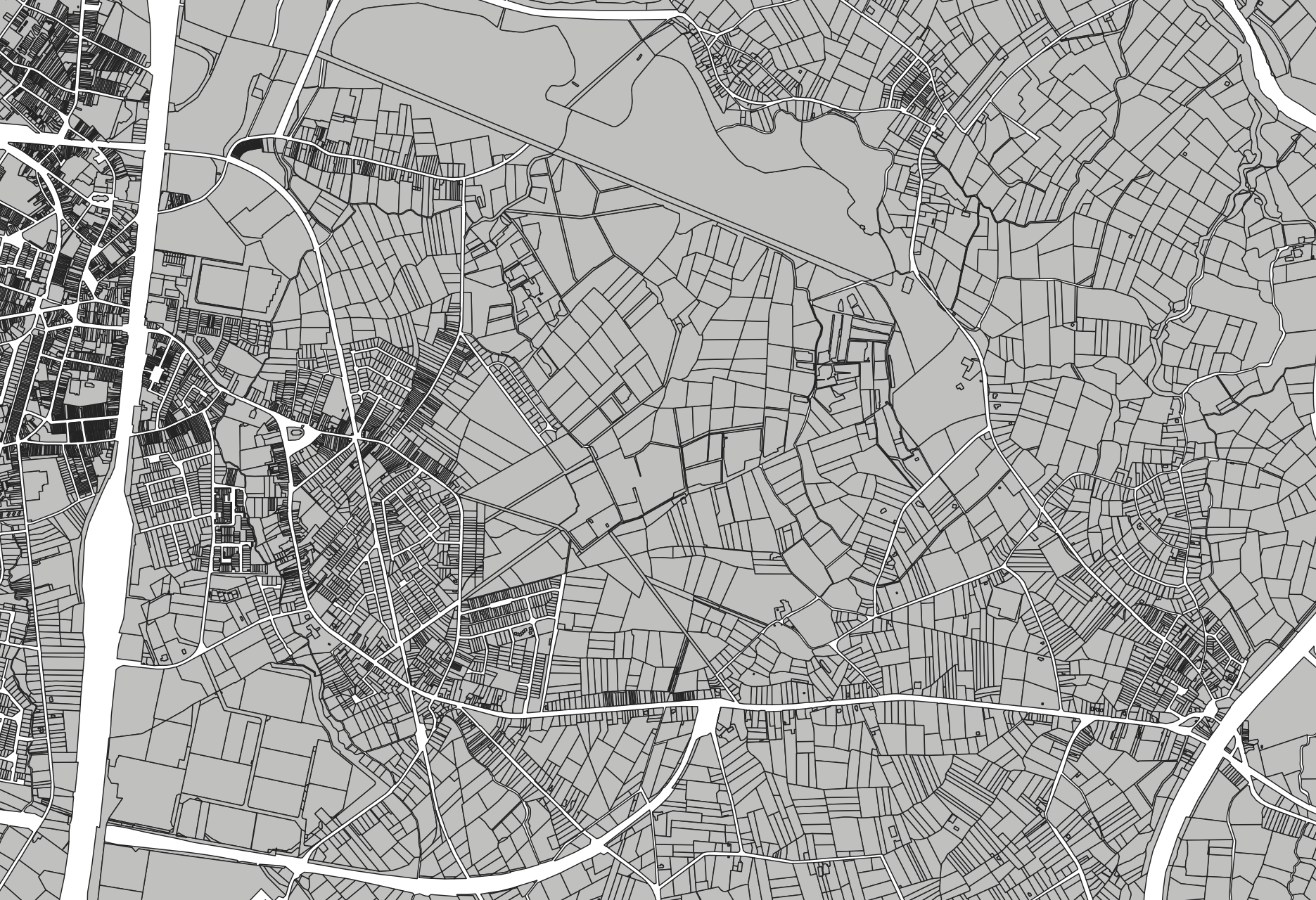
Cadastral parcels - monthly situation corresponds to the dataset of the monthly situation of the cadastral parcels layer from the Land Register plan. The dataset is composed of two classes. The first class contains the geometries of the cadastral parcels; the second is a class without geometry and corresponds to a code table of the different fiscal situations used in the first class. The dataset can be freely downloaded as a zipped shapefiles.
-
This web service provides the display of the datasets Administrative units - current situation and Land register plan - current situation. This webservice does not comply with the INSPIRE specifications, and the datasets to which it gives access do not comply with the INSPIRE specifications. This web service is available in several formats. It is recommended to use the PNG format.
-
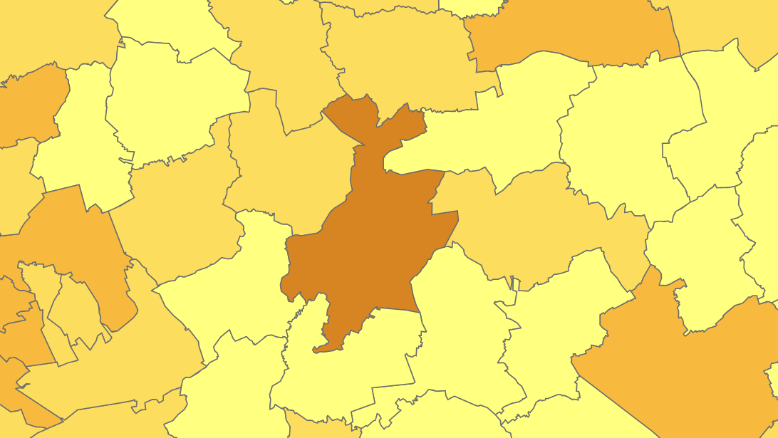
The files contain the population characteristics (total, gender and/or age groups) by municipality in Belgium on January 1st, according to the Belgian definition of the population. The Belgian definition does not take into account the 12-months criterion and excludes asylum seekers. More information at https://ec.europa.eu/eurostat/cache/metadata/en/demo_pop_esms.htm#unit_measure1589188532500.
-
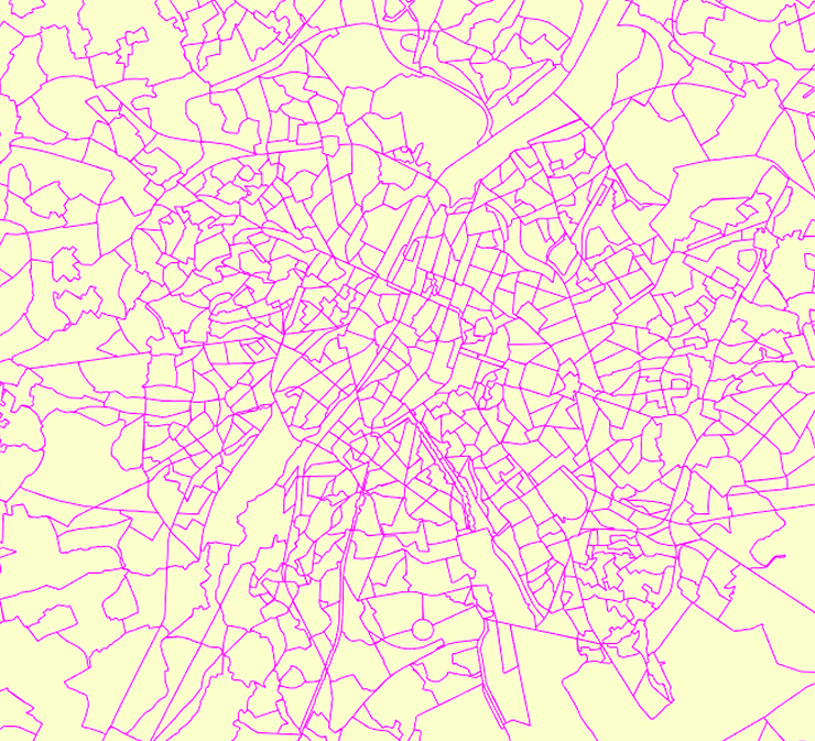
This web service ensures the visualization of data from the FPS Economy in accordance with INSPIRE specifications. The datasets whose structure complies with INSPIRE specifications have been included.
-
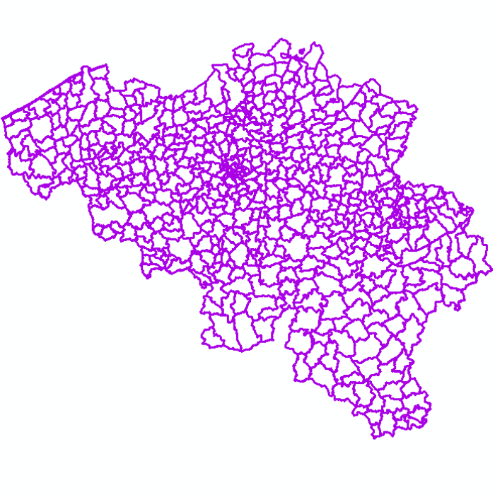
Administrative units - current situation corresponds to the dataset of administrative units from the reference database for the land register data. Administrative limits are legally defined by an administrative entity or between two administrative entities. In Belgium, administrative limits as legally defined are fixed and can only be changed by a law, ordinance or decree. The General Administration of Patrimonial Documentation of the FPS Finance is named by the federal authorities as the authentic source of Belgian administrative limits. This dataset corresponds to the current situation at the time of consultation. It is composed of five geometric classes. The first class corresponds to the whole national territory. The second corresponds to the territory of the three regions, the third to the territory of the provinces, the fourth to the territory of the administrative districts, the fifth to the territory of the municipalities. The dataset is freely downloadable via the ad hoc WFS service.
-
Land register plan - current situation corresponds to the dataset of land register from the reference database for the land register data CadGIS. The land register plan is one of the elements that make up the patrimonial documentation. It is defined as “the graphic representation and assembling on a plan of all the cadastral plan parcels of the Belgian territory”. A plan parcel, such as defined in Article 2 of the Royal Decree of 30 July 2018, is a part of Belgian territory, geographically delimited and identified by the General Administration of Patrimonial Documentation on the land register plan, which corresponds to the ground surface area of one or more patrimonial cadastral parcel(s) (real estate property as mentioned in Article 472 of the 1992 Income Tax Code in respect of which the cadastral income is fixed). This dataset corresponds to the current situation at the time of consultation. It is composed of fourteen geometric layers. The first five are the administrative units, namely the country, the regions, the provinces, the districts and the municipalities. The sixth and seventh layers correspond to the cadastral units, divisions and sections. the eighth layer includes the cadastral blocks, the ninth, the property stones, the tenth, the addresses, the eleventh, the polders and wateringues, the twelfth, the cadastral plan parcels, the thirteenth the buildings managed by the AGDP, and the fourteenth, buildings managed by the regions. The dataset is freely downloadable via the ad hoc WFS.
-
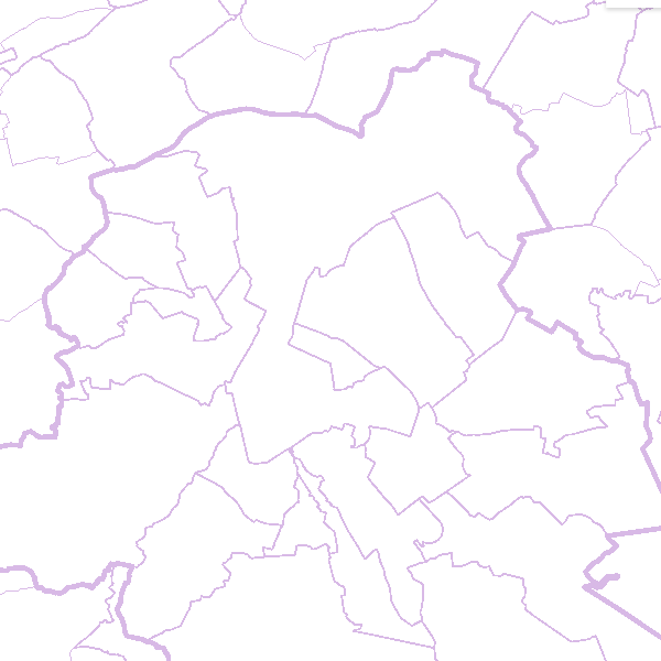
This webservice allows the Territorial Divisions product, which represents all recognised Belgian geographical units, to be visualised. The AdminVector dataset includes the statistical, geographical and administrative units of Belgium. The dataset of the judicial cantons and arrondissements displays the geographical units used for the organisation of the courts. The dataset of the electoral cantons consists of geographical units used for the organisation of elections. The dataset of the postal districts includes the boundaries of the Belgian postal cantons. The link to the webservice is available under 'Access' at the bottom of this page.