 Geobru catalogue
Population and society
Type of resources
Available actions
Topics
INSPIRE themes
Keywords
Contact for the resource
Provided by
Years
Formats
Representation types
Update frequencies
status
Service types
Scale
Resolution
-
Conducting a performance audit on the SREA sector
-
This download service allows, by means of a formatted URL, to downloadd all the vector data that are used in Brusky.
-
This view service allows, by means of a formatted URL, to display all the vector data that are used in Brusky.
-
The studies documented here were commissioned by Innoviris and focus on the theme of well-being and living together in the Brussels-Capital Region. The first publications date back to 2018, and new studies are added to this collection each year. The topics covered span a wide range of issues, from social cohesion to mental health, and from citizen participation to inequalities in access to healthcare. The studies are available for direct download. Most documents are available in French and Dutch, but some are only available in English.
-
The UrbIS - Points of interest product corresponds to the points of interest dataset for the Brussels Region. This dataset consists of a single geometric class representing these points of interest. The dataset is freely downloadable as zipped files and via the ad hoc WFS.
-
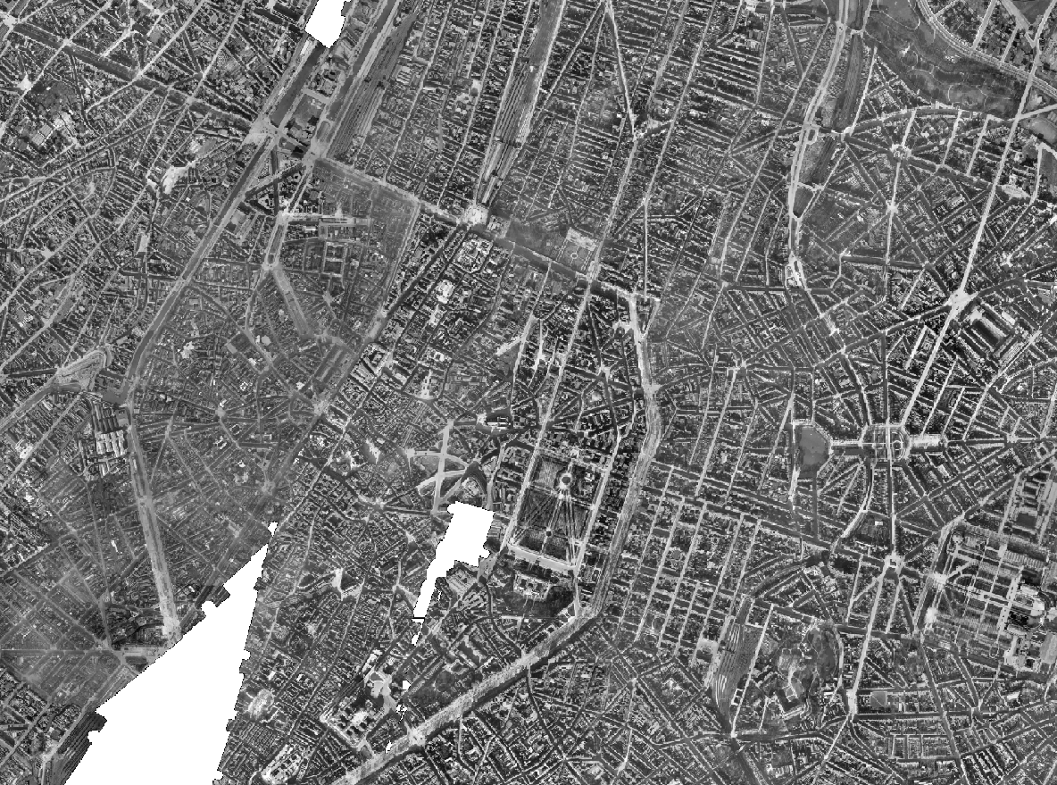
The Brusky Ortho 1930-1935 product is a set of gray scale (black and white) orthophotomaps covering apart of the current territory of the Brussels Region. The images used for these orthophotoplans were taken between 1930 and 1935.
-
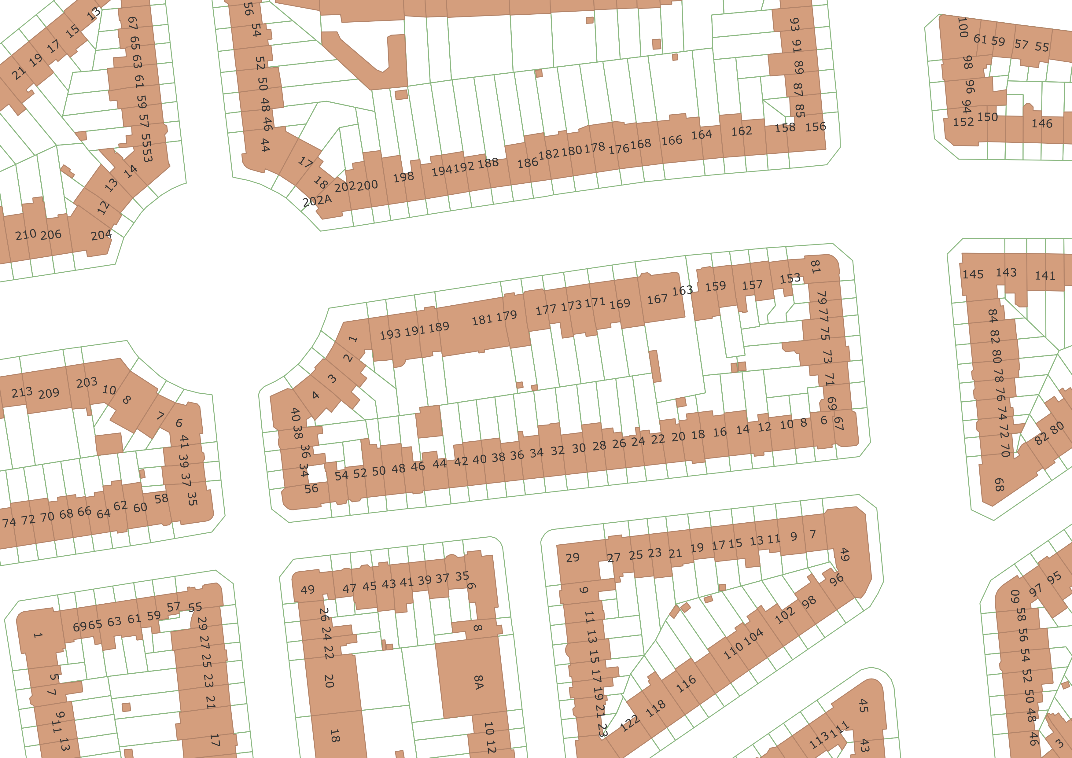
The UrbIS - Parcels and buildings product corresponds to the dataset of two-dimensionally modeled buildings located in the Brussels Region and the Cadastral Parcel Plan. This dataset is composed of three geometric classes. The first class corresponds to buildings. The second corresponds to addresses (only those with the status "current" are included in this dataset), and the third to cadastral parcels. The third class comes from the FPS Finance. Its licence applies to the third class. The dataset is freely downloadable as zipped files and via the ad hoc WFS.
-
This dataset shows, for each Brussels municipality, the projected population by age and sex, over the period from 2026 to 2035. The population projections are carried out according to the methodologies described in the Cahier of the BISA No. 13.
-

The files contain the population characteristics (total, gender and/or age groups) by 1 km² square grid cell in Belgium on January 1st, according to the European definition of the population. The European definition takes into account the 12-months criterion and includes asylum seekers. More information at https://ec.europa.eu/eurostat/cache/metadata/en/demo_pop_esms.htm#unit_measure1589188532500.
-
The files contain the population characteristics (total, gender and/or age groups) by statistical sector in Belgium on January 1st, according to the Belgian definition of the population. The Belgian definition does not take into account the 12-months criterion and excludes asylum seekers. More information at https://ec.europa.eu/eurostat/cache/metadata/en/demo_pop_esms.htm#unit_measure1589188532500.