 Geobru catalogue
Government and public sector
Type of resources
Available actions
Topics
INSPIRE themes
Keywords
Contact for the resource
Provided by
Years
Formats
Representation types
Update frequencies
status
Service types
Scale
-
The objective of this report is to conduct a study and evaluation of the state of discrimination in the Brussels labor market through the principle of situation testing.
-

The study concerns an evaluation of employment support in the context of the 2030 Strategy Go4Brussels, specifically objective 2.2, "Ensuring access to stable and sustainable employment for everyone," which considers this evaluation as a general objective. Ultimately, the aim of this evaluation is to achieve a greater impact on the inclusion of job seekers through employment support.
-

This web service provides a display of the Administrative Units - INSPIRE datase This webservice complies with the INSPIRE specifications.
-
These map layers provide part of the information used for managing urban planning permits within the framework of spatial planning in the Brussels-Capital Region. The perimeters involved are as follows: subdivision permits and urban planning permits issued or still under consideration, municipal regulations and zoned municipal regulations, various zoning areas concerning advertising and signs as well as accessibility related to public transportation from the RRU 2006, land allocated for industry and priority development hubs.
-
These map layers provide a detailed representation of archaeological sites from prehistory to the 18th century and enable efficient management of regional preventive archaeology. Archaeological Atlas : These map layers list archaeological sites and discoveries as well as an expansion zone of human settlements around the main remains. Archaeological and Historical Inventory : These map layers present the thematic inventory of a series of sites confirmed by archaeology and historical sources (monasteries, monastic refuges, breweries, cellars…).
-
These various map layers are essential for the effective management of cultural heritage (real estate) in the Brussels-Capital region. They enable authorities and stakeholders to monitor, protect, and promote this valuable cultural legacy. Protected Properties: This map layer displays the locations of cultural properties that are officially protected by the relevant authorities. Protection Zones: This map layer shows the designated protection zones around the protected properties.
-
Möbius Business Redesign was commissioned by easybrussels to formulate recommendations for improving the experience of Brussels citizens in dealing with their local and regional public organisations -- This report presents these recommendations and the results of the study that supports them.
-
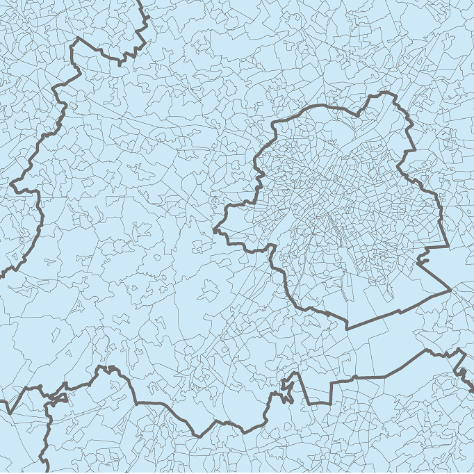
The data set presents in the form of polygons the breakdown of Belgium in almost 20,000 statistical sectors. The statistical sector is the basic territorial unit resulting from the subdivision of the territory of municipalities by STATBEL since 1970 for the dissemination of its statistics at a finer level than the municipal level. A statistical sector cannot extend over two municipalities and any point in the municipal territory is part of one and the same statistical sector. The 1970 and 1981 versions are shown in analogue format while the 2001, 2011, 2018, 2019 etc. versions are available in digital vector format. The files can be linked to the data on population, housing and disposable income on the website of Statbel.
-
This layer shows the locations of monuments, ensembles, trees, and sites listed in legal inventories.
-

This web service provides the download per object of the datasets Administrative units - current situation and Land register plan - current situation. This webservice does not comply with the INSPIRE specifications, and the datasets to which it gives access do not comply with the INSPIRE specifications.