 Geobru catalogue
Administrative units
Type of resources
Available actions
Topics
INSPIRE themes
Keywords
Contact for the resource
Provided by
Years
Formats
Representation types
Update frequencies
status
Service types
Scale
-

This view service allows, by means of a formatted URL, to display all the UrbIS vectorial datasets.
-
This old geolocation service makes it possible to find points of interest on a map, to locate an address there or to find it based on the official code or coordinates.
-
This view service allows, by means of a formatted URL, to visualize UrbIS data from june 2012.
-
This view service allows, by means of a formatted URL, to display the statistical zones of the Brussels-Capital Region maintained by the Brussels institute for statistics and analysis.
-
This download service allows, by means of a formatted URL, to download any object of the UrbIS vector datasets.
-
This download service allows, by means of a formatted URL, to download any object of the 2D vectorial datasets that compose UrbIS M7.
-
This view service allows, by means of a formatted URL, to display all the UrbIS basemaps. These are available in color or black and white, and with annotations in French, Dutch, bilingual, or without annotations. It is recommended to avoid using this service for viewers or front-end applications, and to prefer the "Tiled view service - UrbIS" instead.
-
This download service is maintained for Osiris backward compatibility. Please do not use for a new application.
-
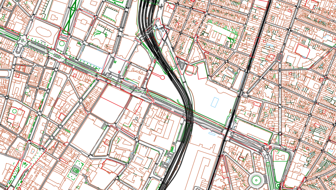
The UrbIS - Topo product is a catalogue of topographic geospatial vector data that contains geometric data, mainly lines, symbols and text. The product offers a digital representation of reality on a large scale through layers grouped by themes (e.g., buildings, roads, green spaces, etc.) and which can contain up to several tens of thousands of elements. The dataset is freely downloadable as a zipped file.
-

Administrative Units - INSPIRE corresponds to the dataset of the Belgian administrative units that complies with the INSPIRE specifications. This dataset is composed of two classes. The first class contains administrative units and the second class contains administrative boundaries. The class are composed of the following administrative level: Kingdom, Regions, Provinces, and arrondissements, and municipalities. The entire dataset can be downloaded via the ad hoc WFS.