 Geobru catalogue
2006
Type of resources
Available actions
Topics
INSPIRE themes
Provided by
Years
Formats
Representation types
Update frequencies
status
Scale
-
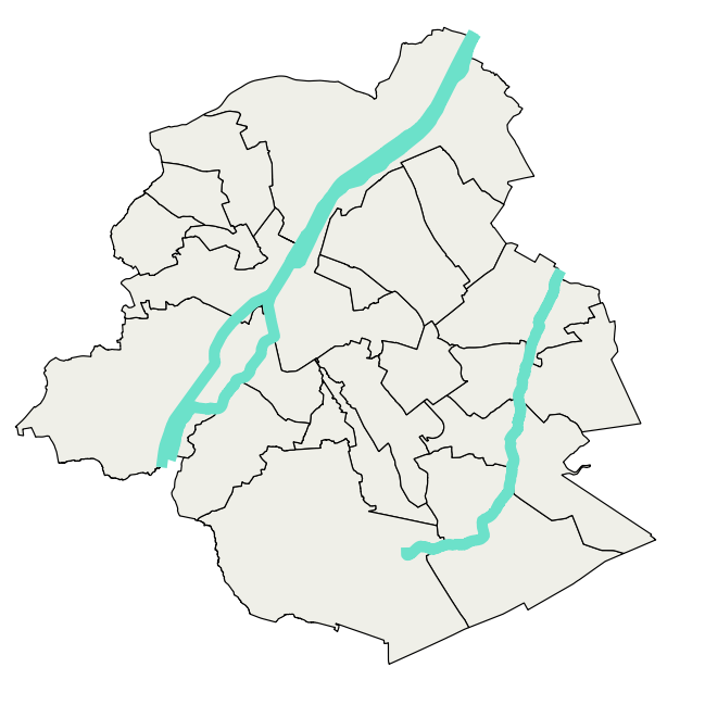
Brussels-Capital Region : watercrouse links in Brussels Region, defined under the Directive and the Ordinance Water
-
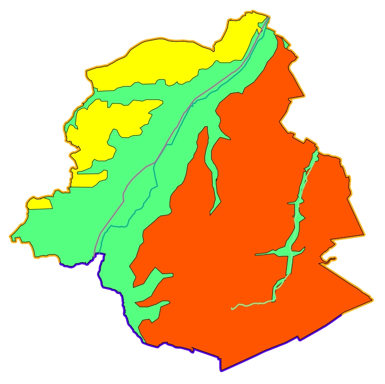
Brussels-Capital Region : data on the 5 Groundwaterbody of the Area of Brussels, defined under the Directive and the Ordinance Water : code European, code of Brussels and name of the water mass, hydrographic district
-
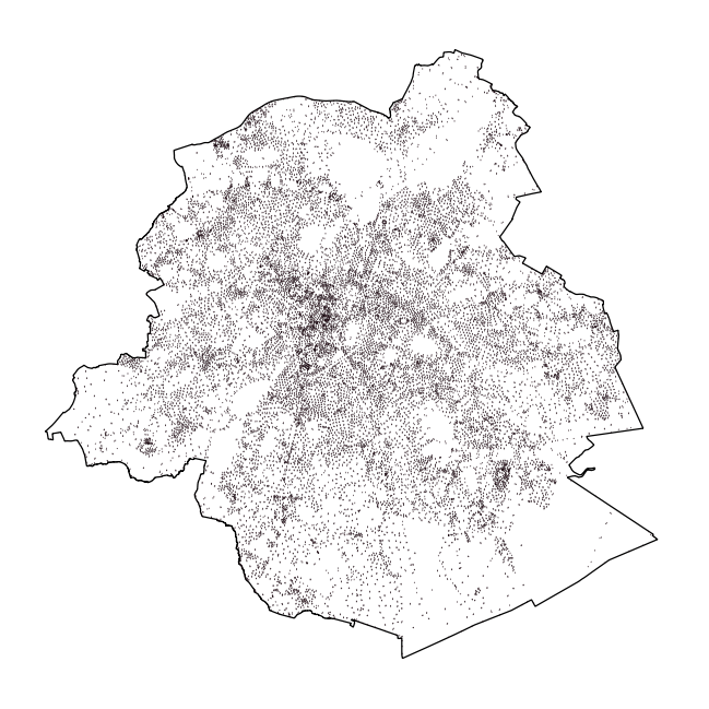
This dataset contains data on addresses in the Brussels-Capital Region. An address point is the graphical representation of one or more house numbers located within buildings or on parcels.
-

Brussels-Capital Region : standing Water in Brussels Region, defined under the Directive and the Ordinance Water
-

Brussels-Capital Region : watercrouses in Brussels Region, defined under the Directive and the Ordinance Water
-
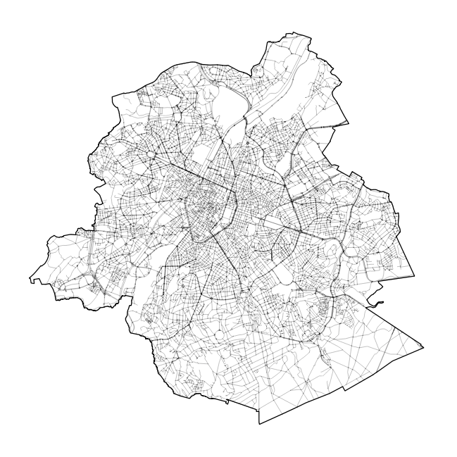
This dataset contains data on the road transport network in the Brussels-Capital Region. The SA object corresponds to the centerlines of street segments in the Region.
-
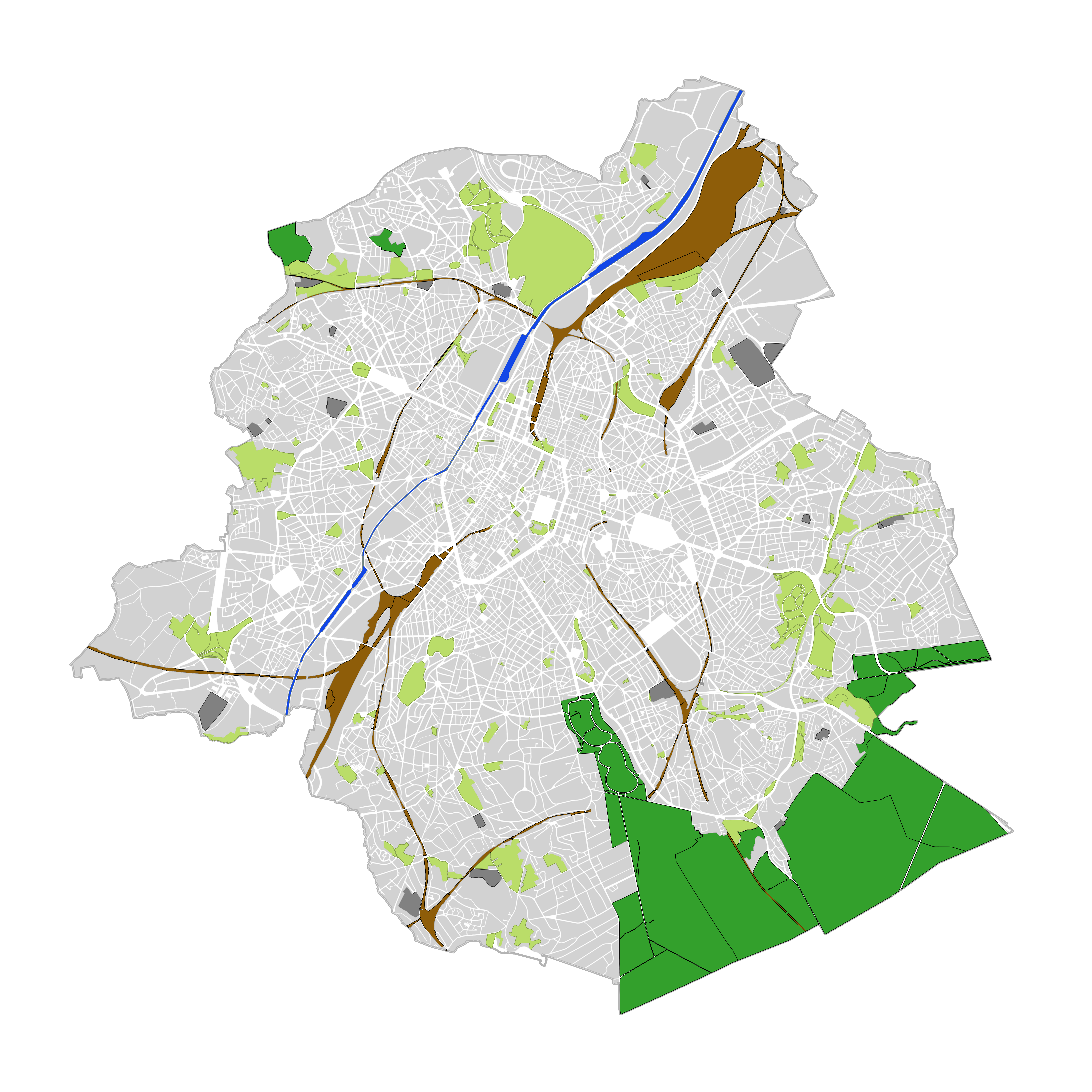
This dataset contains land cover data for the Brussels-Capital Region. Land cover refers to the physical and biological cover of the earth's surface, including artificial surfaces, agricultural areas, forests, semi-natural areas, wetlands, water bodies. The entity "Green Block" (or green area) identifies the footprint of vegetated amenity areas(lawn, trees, possibly planted with flowers and ornamental trees and bushes, and often lined ponds and paths). Green areas have been designed on the basis of various plans (photogrammetric surveys, detailed maps, maps of towns, ...). They have a heterogeneous precision because of the diversity of origin. The entity "Green Block" (or green area) is represented using three different types: - GB-A: grassed (some grassy berm plants or trees) bands; - GB-B: parks (water parks located in these areas are not excluded); - GB-F: forests or wood (islets of the Soignes Forest located in the Brussels Region). The entity "Water Block" (or water area) locates and identifies various water bodies in the territory of the Brussels-Capital Region (channel, ponds, Senne river, ...). We distinguish : 1. water areas located at [0] which are visible from the air (abbreviated WB-0); 2. water areas (for the channel) located at [-] on the road (invisible from the sky) (abbreviated WB-M).
-

Brussels-Capital Region : drainage basins in Brussels Region, defined under the Directive and the Ordinance Water
-
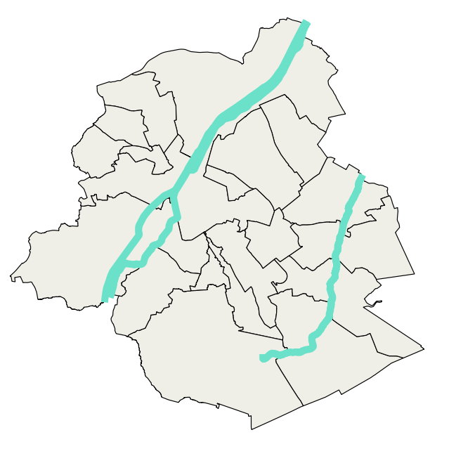
Brussels-Capital Region : data on the 3 Surface Water Bodies of the Area of Brussels, defined under the Directive and the Ordinance Water