 Geobru catalogue
10 m
Type of resources
Available actions
Topics
INSPIRE themes
Keywords
Contact for the resource
Provided by
Years
Formats
Representation types
Update frequencies
status
Resolution
-
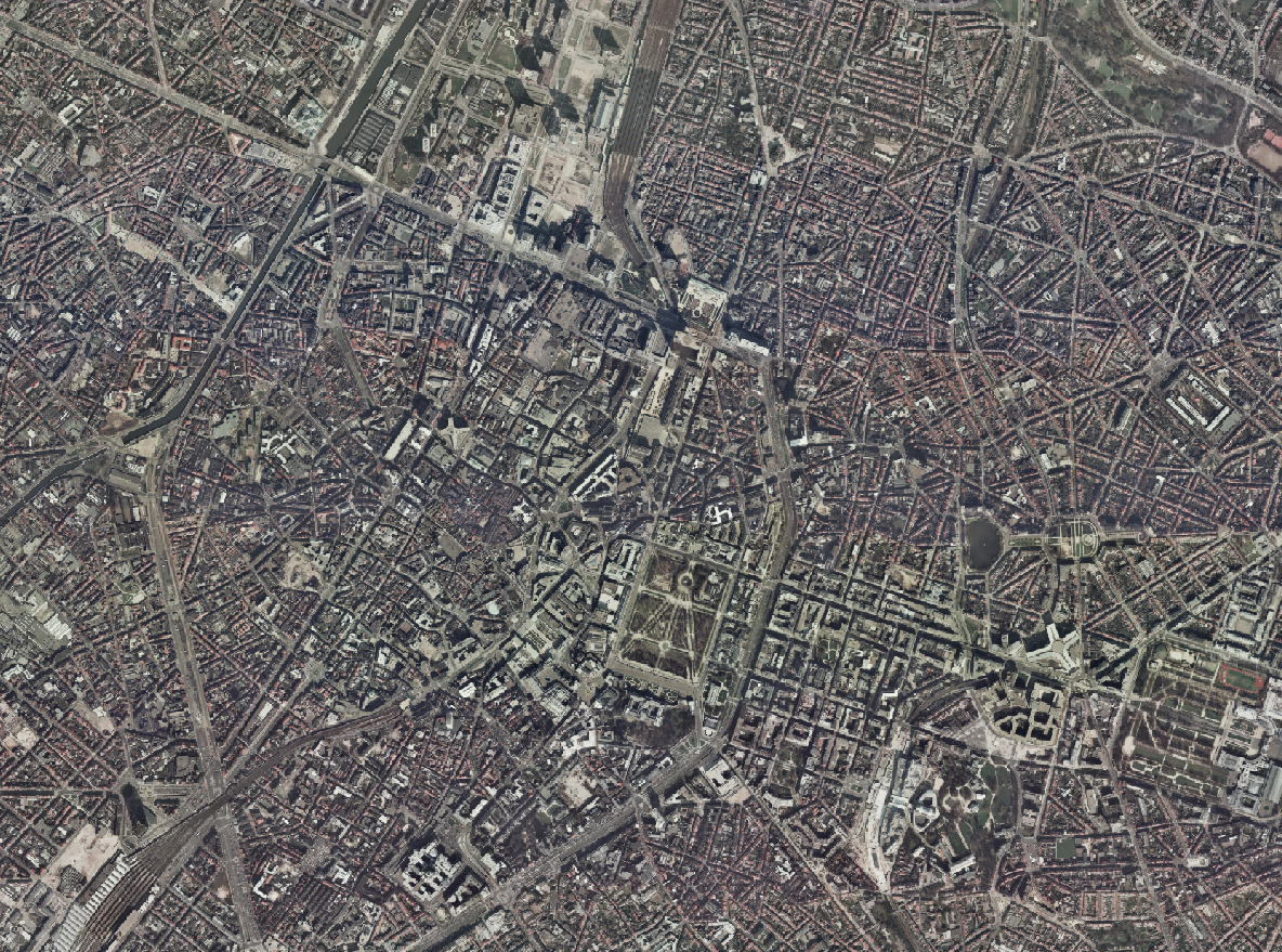
The Brusky - ground photographs product brings together a collection of historical photographs, taken on the ground or in the immediate vicinity of the ground, of buildings of interest in the current Brussels Region that form part of its remarkable heritage.
-
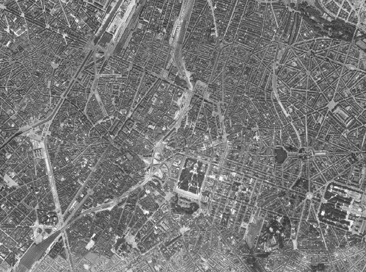
The Ortho 1953 product is a set of gray scale (black and white) orthophotomaps covering the current territory of the Brussels Region. The images used for these orthophotoplans were taken in 1953. This orthophoto is published on the Brusky website.
-
The Ortho 1996 product is a set of RGB (red, green, blue) orthophotomaps covering the territory of the Brussels Region. The images used for these orthophotoplans were taken in 1996. This orthophoto is published on the Brusky website.
-
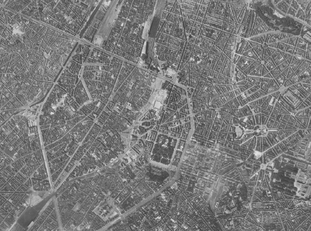
The Ortho 1961 product is a set of gray scale (black and white) orthophotomaps covering the current territory of the Brussels Region. The images used for these orthophotoplans were taken in 1961. This orthophoto is published on the Brusky website.
-
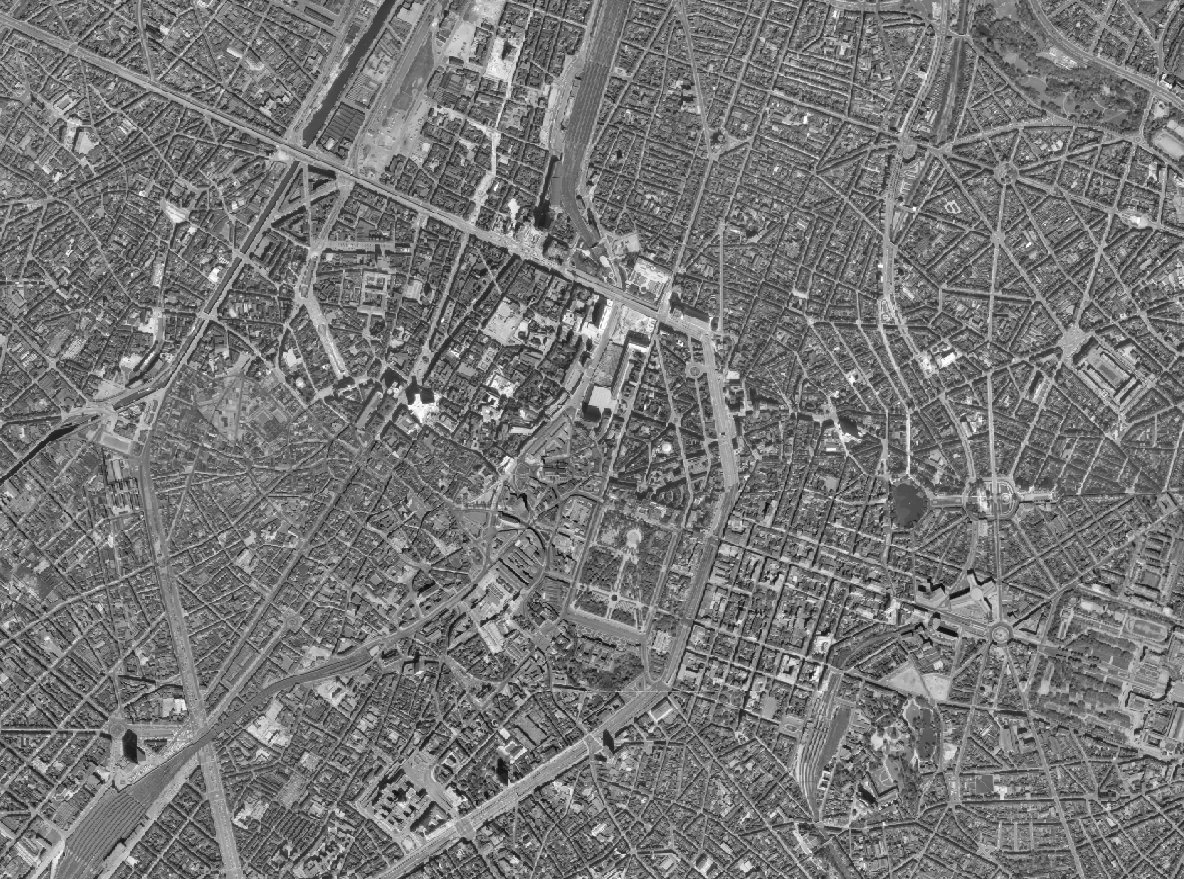
The Ortho 1971 product is a set of gray scale (black and white) orthophotomaps covering the territory of the Brussels Region. The images used for these orthophotoplans were taken in 1971. This orthophoto is published on the Brusky website.
-
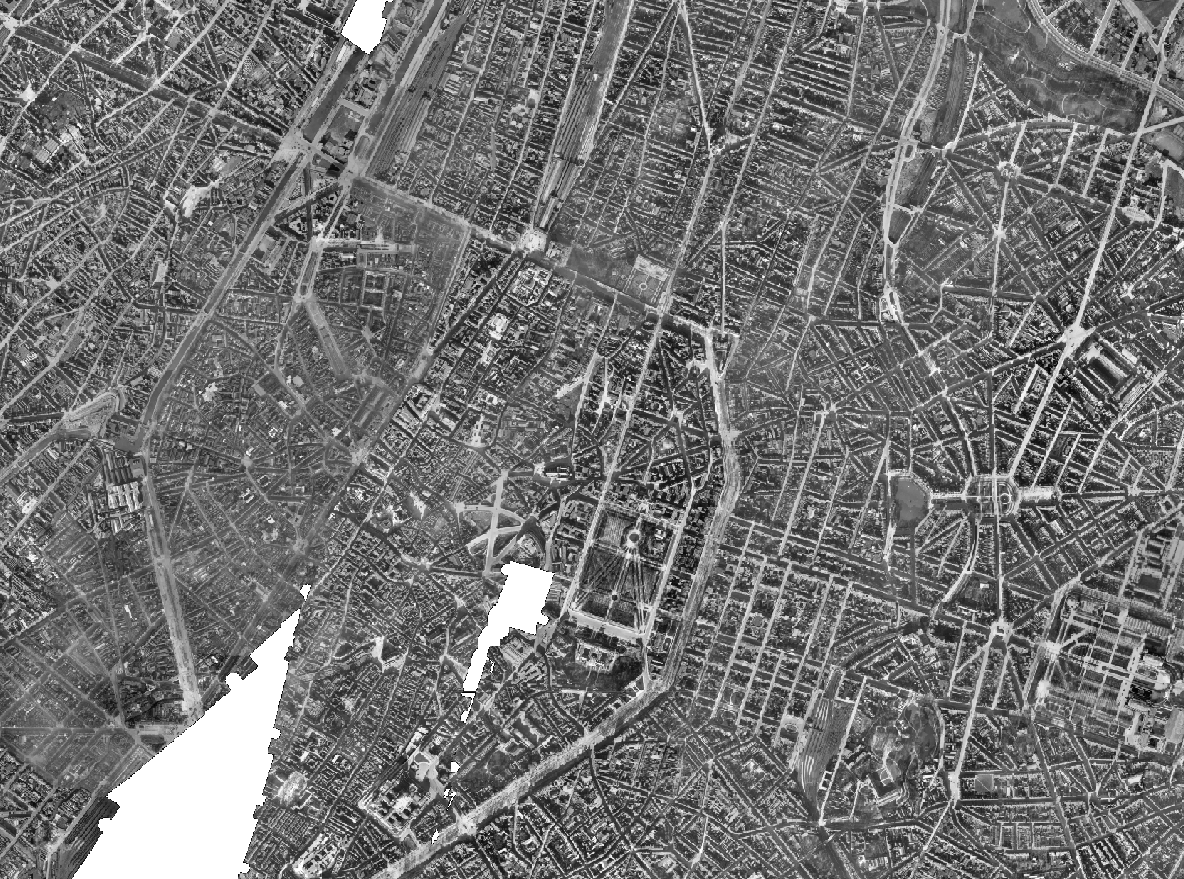
The Ortho 1930-1935 product is a set of gray scale (black and white) orthophotomaps covering apart of the current territory of the Brussels Region. The images used for these orthophotoplans were taken between 1930 and 1935. This orthophoto is published on the Brusky website.
-
The Brusky - ground photographs product brings together a collection of historical georeferenced photographs, taken on the ground or in the immediate vicinity of the ground, of buildings of interest in the current Brussels Region that form part of its remarkable heritage.
-
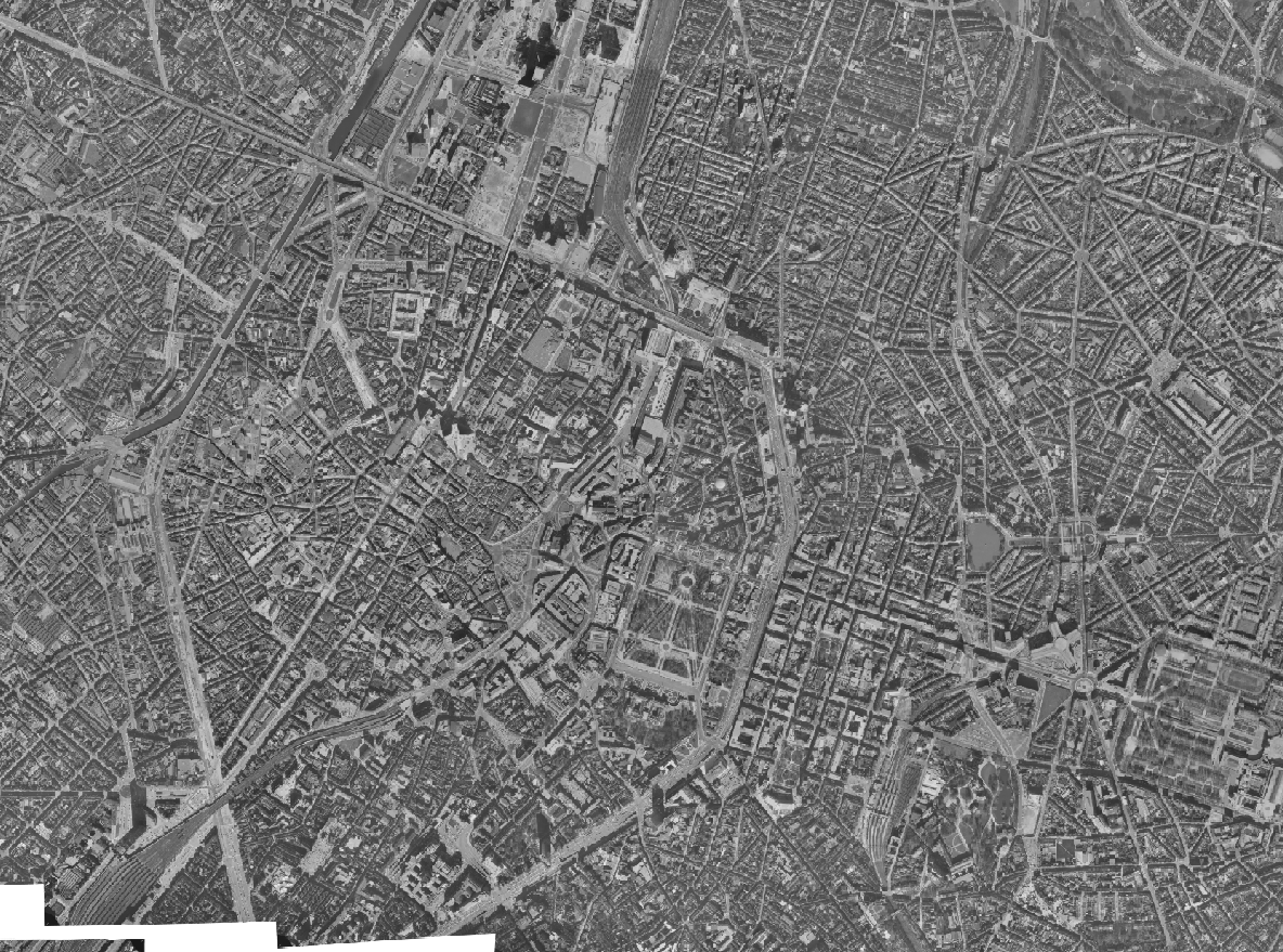
The Ortho 1977 product is a set of gray scale (black and white) orthophotomaps covering the territory of the Brussels Region. The images used for these orthophotoplans were taken in 1977. This orthophoto is published on the Brusky website.
-
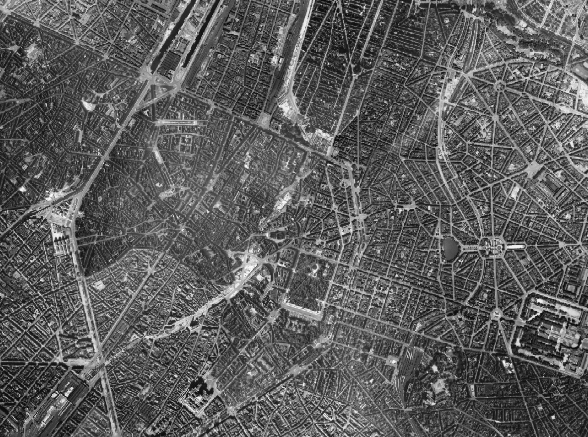
The Ortho 1944 product is a set of gray scale (black and white) orthophotomaps covering the current territory of the Brussels Region. The images used for these orthophotoplans were taken in 1944. This orthophoto is published on the Brusky website. The dataset is provided by the Scottish government.
-
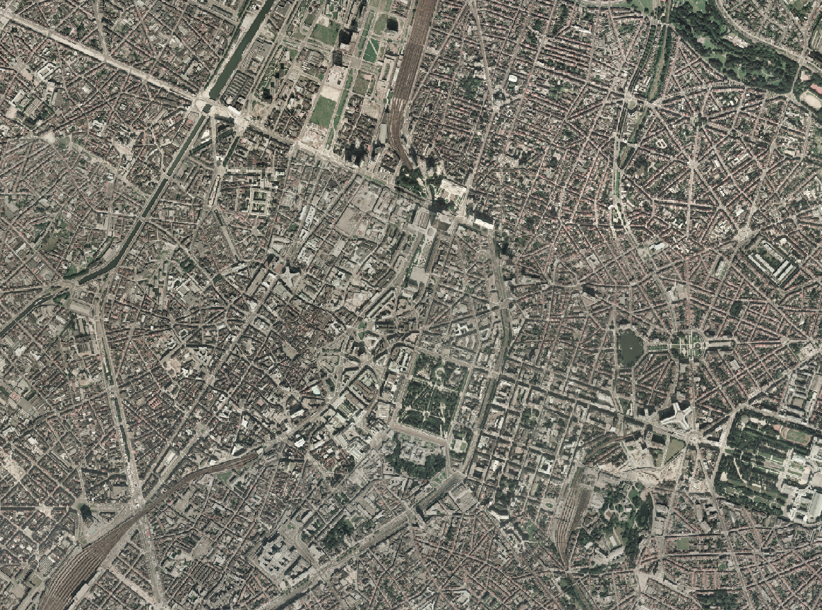
The Ortho 1987 product is a set of RGB (red, green, blue) orthophotomaps covering the territory of the Brussels Region. The images used for these orthophotoplans were taken in 1987. This orthophoto is published on the Brusky website.