 Geobru catalogue
Ortho 1987
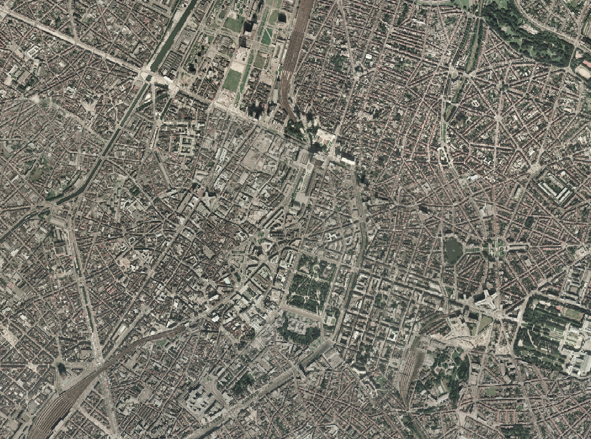
The Ortho 1987 product is a set of RGB (red, green, blue) orthophotomaps covering the territory of the Brussels Region. The images used for these orthophotoplans were taken in 1987. This orthophoto is published on the Brusky website.
Simple
- Date (Creation)
- 2022-12-01
- Date (Revision)
- 2022-12-01
- Identifier
- BE.BRUSSELS.URBAN / 4f2991f9-d265-11ee-ae89-40ec994184cf
- Status
- Completed
- Maintenance and update frequency
- Not planned
- Access constraints
- Other restrictions
- Other constraints
- No limitations to public access
- Use constraints
- Other restrictions
- Spatial representation type
- Grid
- Distance
- 10 m
- Metadata language
- English
- Metadata language
- Nederlands; Vlaams
- Metadata language
- Français
- Character set
- UTF8
- Topic category
-
- Imagery base maps earth cover
- Description
- Brussels-Capital Region
N
S
E
W
))
- Unique resource identifier
- EPSG:31370
- Codespace
- EPSG
- Distribution format
-
-
TIFF
()
-
TIFF
()
- OnLine resource
- https://geoservices-grid.irisnet.be/geoserver/Bruciel/ows?Service=WMS&Version=1.3.0&Request=GetCapabilities&Language=eng ( OGC Web Map Service )
- OnLine resource
- https://bruciel.brussels/ ( WWW:LINK-1.0-http--link )
- Hierarchy level
- Dataset
- Statement
- This dataset is based on flights carried out for the French government by Walphot, which has exclusive rights to the original photographs. original photographs. The flight was made on 21 August 1987, at an altitude of 2400 metres.
- File identifier
- 4f2730b8-d265-11ee-88cd-40ec994184cf XML
- Metadata language
- English
- Character set
- UTF8
- Hierarchy level
- Dataset
- Date stamp
- 2026-07-07T11:46:04
- Metadata standard name
- Brussels INSPIRE metadata profil
Overviews
Spatial extent
N
S
E
W
Provided by

Associated resources
Not available