 Geobru catalogue
Orthoimagery
Type of resources
Available actions
Topics
INSPIRE themes
Keywords
Contact for the resource
Provided by
Years
Formats
Representation types
Update frequencies
status
Service types
Resolution
-
This tiled view service makes it possible to obtain georeferenced tiles from the raster datasets that make up the UrbIS series. This service is updated periodically based on the corresponding layers of the View service - Raster. The use of this service is recommended for all viewers and front-end applications.
-

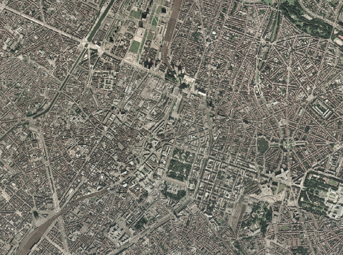
This dataset includes the RGB & NIR (Red, Green, Blue and Near-Infrared) orthophotos created in 2024. The images cover the entire Brussels Capital Region, with a resolution of 40 and 5 centimeters.
-

This dataset includes the RGB & NIR (Red, Green, Blue and Near-Infrared) orthophotos created in 2024. The images cover the entire Brussels Capital Region, with a resolution of 40 and 5 centimeters.
-

This dataset includes the RGB & NIR (Red, Green, Blue and Near-Infrared) orthophotos created in 2023. The images cover the entire Brussels Capital Region, with a resolution of 40 and 5 centimeters.
-

This view service allows, by means of a formatted URL, to display all the orthophotos and raster (DTM, DSM) reference datasets.
-

This dataset includes the RGB & NI (Red, Green, Blue and Near-Infrared) orthophotos created in 2022. The images cover the entire Brussels Capital Region, with a resolution of 5 centimeters. The dataset is freely downloadable as a zipped file.
-

This dataset includes the RGB & NI (Red, Green, Blue and Near-Infrared) orthophotos created in 2021. The images cover the entire Brussels Capital Region, with a resolution of 5 and 40 centimeters.
-

This dataset includes the RGB & NI (Red, Green, Blue and Near-Infrared) orthophotos created in 2022. The images cover the entire Brussels Capital Region, with a resolution of 5 centimeters. The dataset is freely downloadable as a zipped file.
-
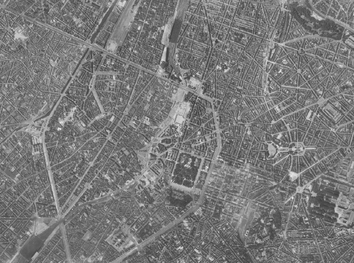
The Brusky Ortho 1961 product is a set of gray scale (black and white) orthophotomaps covering the current territory of the Brussels Region. The images used for these orthophotoplans were taken in 1961.
-
The Brusky Ortho 1987 product is a set of RGB (red, green, blue) orthophotomaps covering the territory of the Brussels Region. The images used for these orthophotoplans were taken in 1987.