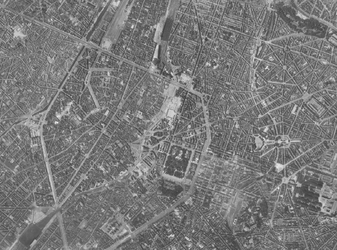
Brusky - Ortho 1961
The Brusky Ortho 1961 product is a set of gray scale (black and white) orthophotomaps covering the current territory of the Brussels Region. The images used for these orthophotoplans were taken in 1961.
Simple
- Date (Creation)
- 2022-12-01
- Date (Revision)
- 2022-12-01
- Identifier
- BE.BRUSSELS.URBAN / 2f471a97-d265-11ee-9d84-40ec994184cf
- Status
- Completed
- Maintenance and update frequency
- Not planned
- Access constraints
- Other restrictions
- Other constraints
- public access limited according because of existing intellectual rights
- Use constraints
- Other restrictions
- Other constraints
- Creative Commons Attribution (CC-BY) - required citation of data source. The full license is available here: https://creativecommons.org/licenses/by/4.0/legalcode
- Spatial representation type
- Grid
- Distance
- 10 m
- Metadata language
- English
- Metadata language
- Nederlands; Vlaams
- Metadata language
- Français
- Character set
- UTF8
- Topic category
-
- Imagery base maps earth cover
- Description
- Brussels-Capital Region
N
S
E
W
))
- Unique resource identifier
- EPSG:31370
- Codespace
- EPSG
- Distribution format
-
-
TIFF
()
-
TIFF
()
- Statement
- This dataset is based on flights carried out for the Belgian Ministry of Public Works (Topography and Photogrammetry Service). The photos are held as positives and/or negatives in the urban.brussels collections. The flights were made on 29 June and 18 September 1961, on an East-West axis, at an altitude of 2,500 metres.
- File identifier
- 2f471a96-d265-11ee-a0a5-40ec994184cf XML
- Metadata language
- English
- Character set
- UTF8
- Hierarchy level
- Dataset
- Date stamp
- 2025-04-23T07:26:21
- Metadata standard name
- Brussels INSPIRE metadata profil
Overviews

Spatial extent
N
S
E
W
))
Provided by

Associated resources
Not available
 Geobru catalogue