 Geobru catalogue
pollution
Type of resources
Available actions
Topics
INSPIRE themes
Keywords
Contact for the resource
Provided by
Years
Formats
Representation types
Update frequencies
status
Scale
-
This dataset corresponds to the sensitivity classes applicable to the soil condition inventory, defined according to the Regional Land Use Plan (2017) and according to the correspondence established in the decree of 29 March 2018 determining intervention standards and sanitation standards. Soil pollution response standards are derived from this. The sensitivity class is to be adapted to 'special area' if the site under study is in a Natura 2000 area or in a drinking water catchment protection area. The dataset specifies whether the site is yes (t=true) or no (f=false) in such an area. There are 6 different sensitivity classes: (1) residential, (2) particular, (3) industrial, (4) ZFM and ZEMU, (5) ZIR, ZIRAD and RF, (6) other.
-
This dataset corresponds to analyses and suspicion of contamination of water and soil in the Brussels-Capital Region. It is made up of two objects: cadastral parcels presenting a risk of pollution by PFAS and the results of analysis campaigns by borehole
-
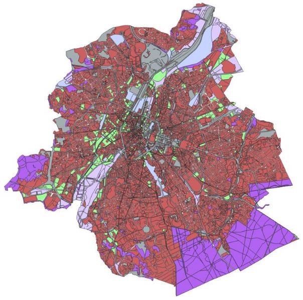
This dataset corresponds to soil condition inventory in the Brussels-Capital Region. It is made up of one geometric classe : cadastral parcels categorised according to a presumption of pollution and any studies and work to treat soil pollution
-
This dataset corresponds to the nitrate-vulnerable zone in accordance with the prescriptions of the European Directive 91/676/EEC, by the Ministerial Order of 25 May 1999. It is made of one geometric classe : the nitrate-vulnerable zone.
-
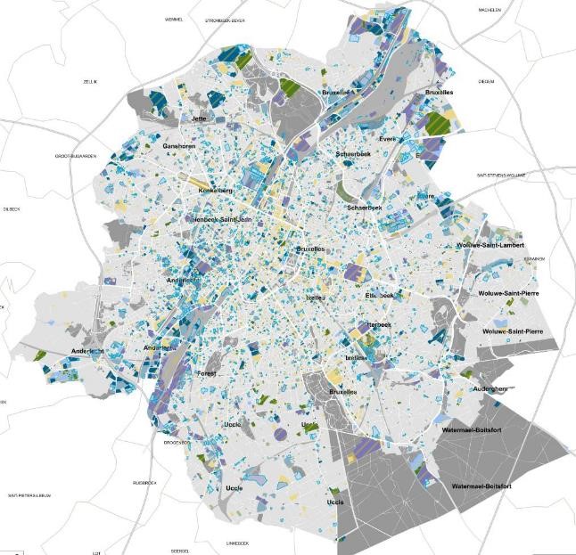
This dataset corresponds to the index of soil quality in Brussels (ISQB). It is made up of three classes : the index of soil quality calculated per cadastral parcel as part of the IQSB Pro studies, the index of soil qualitycalculated per cadastral parcel by Brussels Environment and the index of soil quality calculated per sample by Brussels Environment.
-
This dataset brings together air quality measurements from the Brussels telemetry network. It includes data on concentrations of the main atmospheric pollutants recorded at stations in the Brussels-Capital Region telemetric network, enabling compliance with air quality standards to be assessed and changes in pollutant concentrations to be monitored.
-
Brussels-Capital Region: Monitoring network of the nitrate content in surface waters and groundwater. It was designated in accordance with the prescriptions of the European Directive 91/676/EEC concerning the protection of waters against pollution caused by nitrates from agricultural sources, by the Ministerial Order of 25 May 1999.
-

Brussels-Capital Region: The nitrate-vulnerable zone is a protected area against the pollution of groundwaters caused by nitrates from agricultural sources. It was designated in accordance with the prescriptions of the European Directive 91/676/EEC, by the Ministerial Order of 25 May 1999.