Spatial Plan
Type of resources
Available actions
Topics
INSPIRE themes
Keywords
Contact for the resource
Provided by
Years
Formats
Representation types
Update frequencies
status
Scale
-

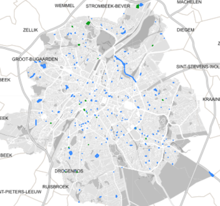
Spatial representation of building permits in the Brussels region
-
This dataset represents the consolidated version of the zoning map from the Regional Land Use Plan (Plan Régional d’Affectation du Sol – PRAS), as referenced in Article 24 of the Brussels Land Use Code (CoBAT). It consists of a single geometry layer corresponding to the zones on the map where land use designations are specified. The dataset is freely accessible via an ad hoc WMS service.
-

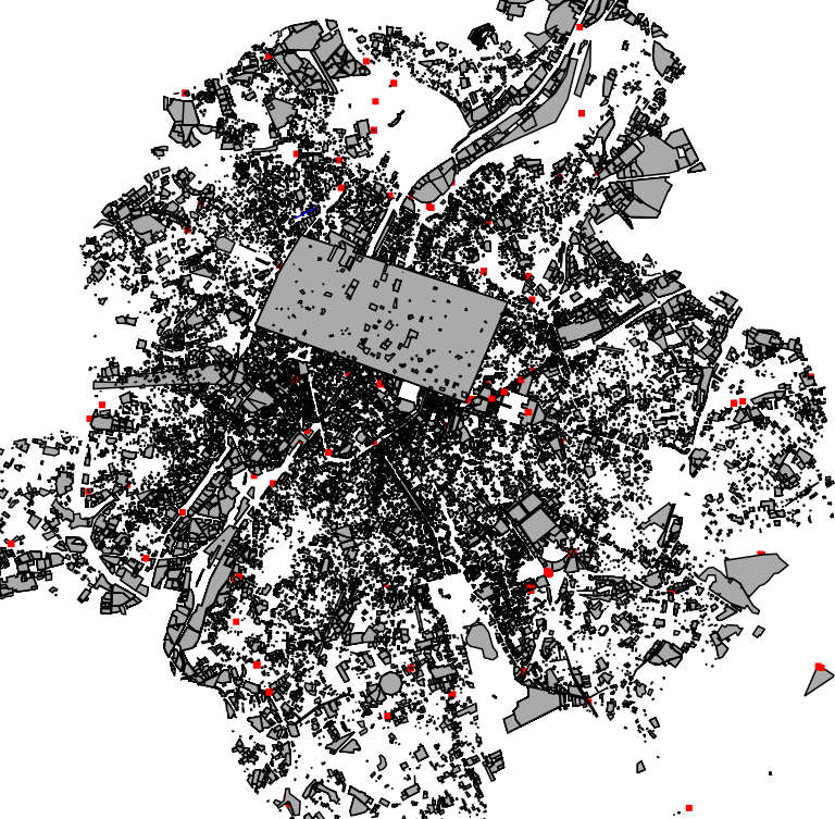
This dataset corresponds to applications for urban planning permits filed in the Brussels-Capital Region, as defined in Article 98 of the Brussels Town Planning Code. It includes both municipal and regional permit applications.
-

This dataset corresponds to applications for environmental permits filed in the Brussels-Capital Region, as defined in Title II of the ordonnance of 5 June 1997 regarding environmental permis. It includes both municipal and regional permit applications.
 Geobru catalogue