 Geobru catalogue
Keyword
Brussels region
Type of resources
Available actions
Topics
INSPIRE themes
Keywords
Contact for the resource
Provided by
Years
Formats
Representation types
Update frequencies
status
Scale
From
1
-
3
/
3
-
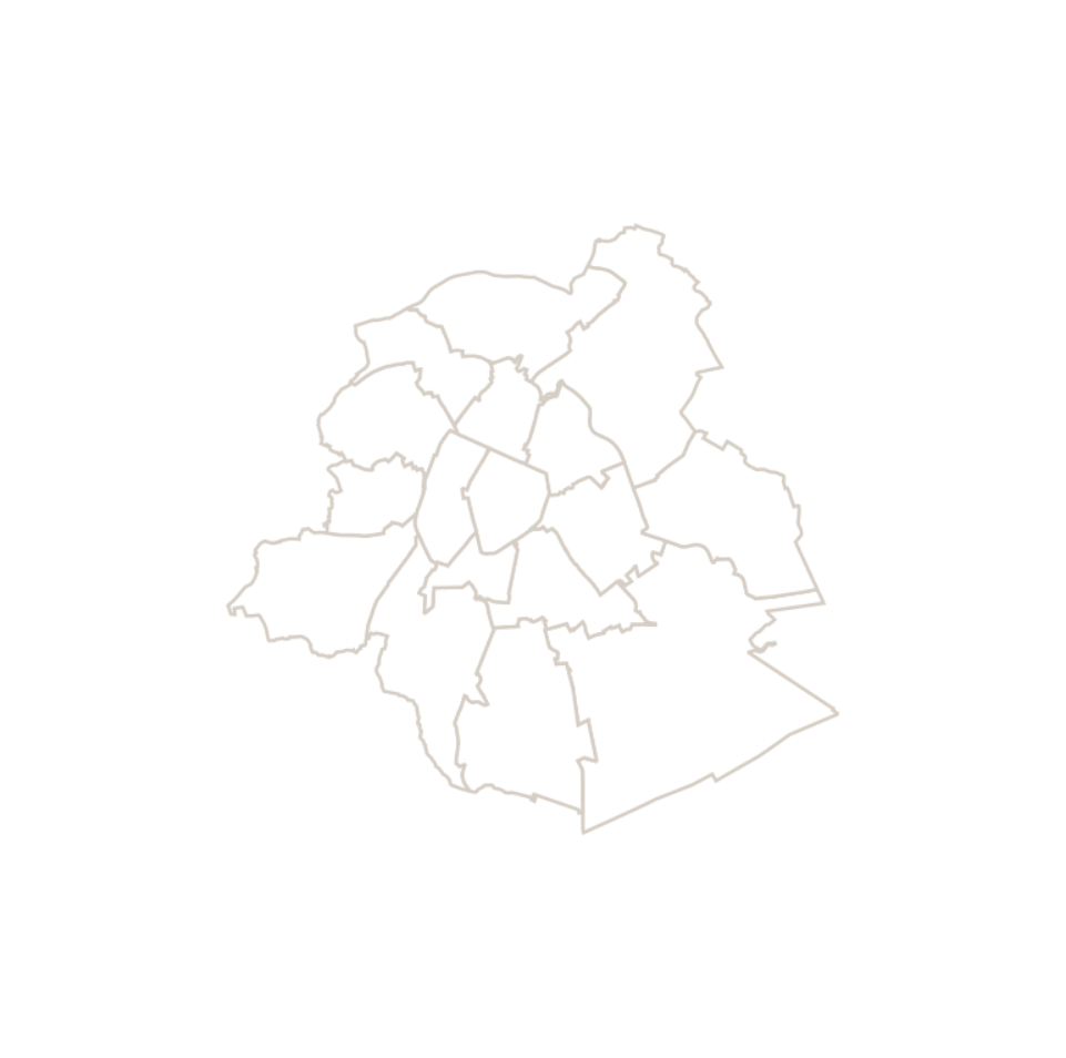
This dataset corresponds to the macrozone dataset, i.e. the highest-level statistical partition of the Brussels-Capital Region (the Region is divided into 17 macrozones).
-
This map corresponds to the "Carte topographique et hypsométrique de Bruxelles et ses environs", drawn around 1858 at a scale of 1:20,000 by Joseph Huvenne (draftsman, topographer) and engraved by J. Ongers. It covers the Brussels region from Neder-Over-Heembeek to Drogenbos and from Berchem-Sainte-Agathe to Auderghem.
-
This dataset includes the urban planning infractions observed on the territory of the city of Brussels as specified in article 300 of the Code bruxellois de l'aménagement du territoire / Brusselse wetboek van Ruimetelijke ordening.