 Geobru catalogue
Land use
Type of resources
Available actions
Topics
INSPIRE themes
Keywords
Contact for the resource
Provided by
Years
Formats
Representation types
Update frequencies
status
Service types
Scale
-
This download service allows, via a formatted URL, the downloading of the environmental permits data in the Brussels-Capital Region.
-
This visualization service allows, through a formatted URL, the viewing of data related to urban planning permit applications in the Brussels-Capital Region.
-
These map layers provide part of the information used for managing urban planning permits within the framework of spatial planning in the Brussels-Capital Region. The perimeters involved are as follows: subdivision permits and urban planning permits issued or still under consideration, municipal regulations and zoned municipal regulations, various zoning areas concerning advertising and signs as well as accessibility related to public transportation from the RRU 2006, land allocated for industry and priority development hubs.
-
This view service allows, via a formatted URL, to display the environmental permits data in the Brussels-Capital Region.
-
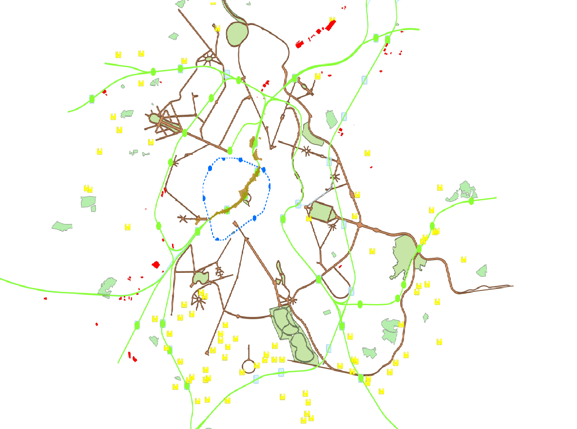
This dataset is made up of numerous types of objects corresponding to a range of different layouts or the location of various buildings or activities.
-
This download service allows, by means of a formatted URL, to download each object from the data in Nederlands managed by perspective.brussels.
-
This download service allows, by means of a formatted URL, to download each object from the data in French managed by perspective.brussels.
-
This view service allows, by means of a formatted URL, to visualize data in French managed by perspective.brussels.
-
This view service allows, by means of a formatted URL, to visualize data in Dutch managed by perspective.brussels.
-
This dataset corresponds to the Special Land-Use Plans (les Plans Particulier d'Affectation du Sol or PPAS in French and de Bijzondere Bestemmingsplannen or BBP in Dutch). The dataset consists of a single layer showing the general perimeter of the PPAS, without identifying each specific land-use zone or its nature. It can be consulted via an ad hoc WMS and WFS. This dataset has no regulatory value and is published solely for informational purposes. Only the maps and subsequent amendments published in the Belgian Official Gazette have regulatory force.