 Geobru catalogue
Transport Network
Type of resources
Available actions
Topics
INSPIRE themes
Keywords
Contact for the resource
Provided by
Years
Formats
Representation types
Update frequencies
status
Scale
-
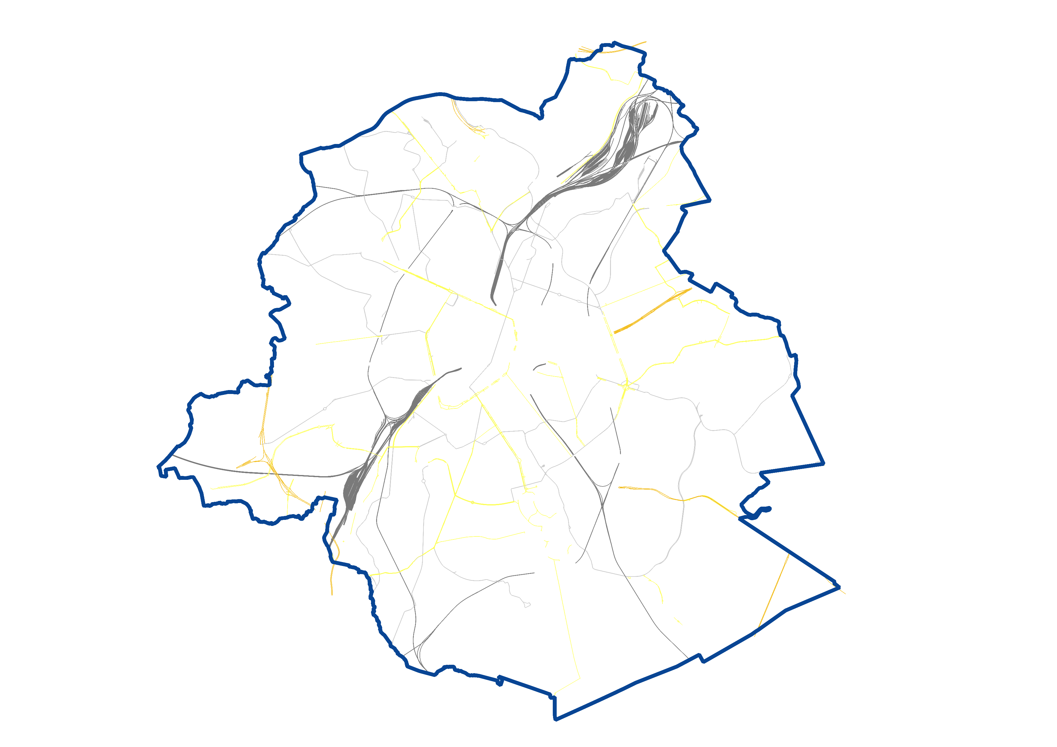
UrbIS - Transport networks corresponds to the dataset of road networks and tram and train networks in the Brussels Region. This dataset is composed of three geometric classes. The first class corresponds to the street axes (some objects located in Flanders have been integrated for visual continuity). The second corresponds to street intersections, and the third corresponds to the rail network. The dataset is freely downloadable, in the form of zipped shapefiles. The dataset is notably produced by integrating the attribute informations provided by Brussels Mobility.
-
This dataset contains Inland Electronic Navigational Charts (IENCs), which include all navigation information for the Brussels port area. The three available charts (8B7BRU02, 8B7BRU03, and 8B7BRU05) cover the Brussels section of the Charleroi–Brussels Canal and the Brussels–Escaut Maritime Canal. Together, these two canals form a waterway corridor known as the ABC axis, linking Antwerp with Brussels and Charleroi. This north–south corridor connects major seaports with industrial centres and plays a key role in logistics and modal shift. The data are freely available for download as ZIP archives.
-

This dataset corresponds to routes and stops of the STIB/MIVB Network (Tramway-Metro).
-
The UrbIS - Vector product (formerly UrbIS - ADM) is a global dataset covering the physical and biological surfaces of the Brussels-Capital Region. It includes data from six UrbIS products, namely “Parcels and buildings”, “Land use”, “Transport networks”, “Administrative units”, “3D buildings”, and “Points of interest”. The dataset is freely downloadable as zipped files and via the ad hoc WFS.
-

This dataset corresponds to the routes and stops of the STIB/MIVB network (Bus).