 Geobru catalogue
Land Cover Data set
Type of resources
Available actions
Topics
INSPIRE themes
Keywords
Contact for the resource
Provided by
Years
Formats
Representation types
Update frequencies
status
Scale
-
The publishing of data on Brussels companies with important industrial emissions aims to achieve a high level of environmental protection through integrated prevention and control of pollution from a wide range of industrial and agricultural activities. This complies with the Directive 2010/75/EU of the European Parliament and of the Council of 24 November 2010 on industrial emissions (integrated pollution prevention and control).
-

The UrbIS - Land cover product corresponds to the dataset of physical and biological surfaces in the Brussels Region. This dataset is composed of four geometric classes. The first class corresponds to bridges. The second corresponds to tunnels, the third corresponds to street surfaces (some objects located in Flanders have been integrated for visual continuity), and the fourth corresponds to blocks including forests, parks, and bodies of water. The dataset is freely downloadable as a zipped file and via the ad hoc WFS.
-
This map corresponds to the "Carte topographique et hypsométrique de Bruxelles et ses environs", drawn around 1858 at a scale of 1:20,000 by Joseph Huvenne (draftsman, topographer) and engraved by J. Ongers. It covers the Brussels region from Neder-Over-Heembeek to Drogenbos and from Berchem-Sainte-Agathe to Auderghem.
-
This dataset corresponds to the register of the quantities of sewage sludge produced and the quantities of sludge delivered for use in agriculture. It complies with Article 10 of Council Directive 86/278/EEC of 12 June 1986 on the protection of the environment, and in particular of the soil, when sewage sludge is used in agriculture, and covers the Brussels-Capital Region.
-
Brussels-Capital Region : database of green spaces and recreational areas in the Brussels-Capital Region, accessible to the public
-
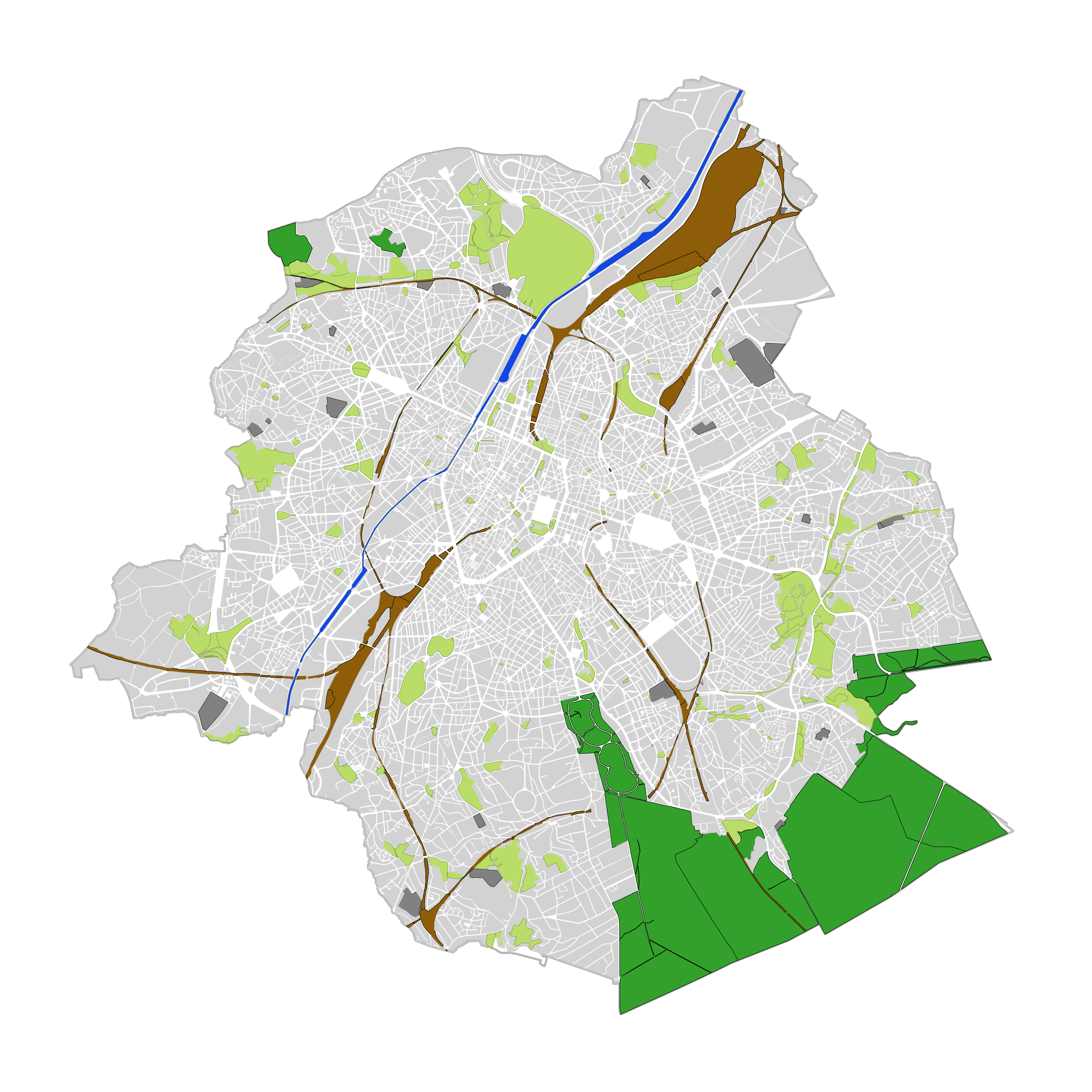
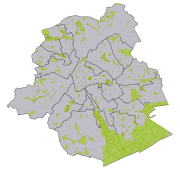
Brussels-Capital Region : land cover refers to the physical and biological cover of the earth's surface, including artificial surfaces, agricultural areas, forests, semi-natural areas, wetlands, water bodies. The entity "Green Block" (or green area) identifies the footprint of vegetated amenity areas(lawn, trees, possibly planted with flowers and ornamental trees and bushes, and often lined ponds and paths). Green areas have been designed on the basis of various plans (photogrammetric surveys, detailed maps, maps of towns, ...). They have a heterogeneous precision because of the diversity of origin. The entity "Green Block" (or green area) is represented using three different types: - GB-A: grassed (some grassy berm plants or trees) bands; - GB-B: parks (water parks located in these areas are not excluded); - GB-F: forests or wood (islets of the Soignes Forest located in the Brussels Region). The entity "Water Block" (or water area) locates and identifies various water bodies in the territory of the Brussels-Capital Region (channel, ponds, Senne river, ...). We distinguish : 1. water areas located at [0] which are visible from the air (abbreviated WB-0); 2. water areas (for the channel) located at [-] on the road (invisible from the sky) (abbreviated WB-M).
-
The register contains information on releases of pollutants to air, water and land, as well as off-site transfers of pollutants in wastewater and waste in the Brussels region. It covers 91 pollutants, including greenhouse gases, other gases, heavy metals, pesticides, chlorinated organic substances, other organic substances and inorganic substances. It complies with the Regulation 166/2006 of the European Parliament and of the Council of 18 January 2006 concerning the establishment of a European Pollutant Release and Transfer Register
-
The UrbIS - Vector product (formerly UrbIS - ADM) is a global dataset covering the physical and biological surfaces of the Brussels-Capital Region. It includes data from six UrbIS products, namely “Parcels and buildings”, “Land use”, “Transport networks”, “Administrative units”, “3D buildings”, and “Points of interest”. The dataset is freely downloadable as zipped files and via the ad hoc WFS.
-
The dataset correponds to the nitrate content of raw groundwater intended for human consumption, monitored by Brussels Environment and supplemented by operators of drinkable groundwater abstraction points located in the nitrate-vulnerable zone delimited by DGBCR on 25 may 1999.
-
The dataset covers concentrations of pollutants subject to quality standard, pollutants posing a risk for environment and health, other pollutant and pollutant indicators mesured in groundwater characterised in the Frame Water Directive (2000/60/EC). The dataset also includes assessment of chemical status of groundwater and the identification and reversal of significant and sustained trends.