 Geobru catalogue
Keyword
urbanisation
Type of resources
Available actions
Topics
INSPIRE themes
Keywords
Contact for the resource
Provided by
Years
Formats
Representation types
Update frequencies
status
Service types
Scale
From
1
-
3
/
3
-
This view service allows, by means of a formatted URL, to display the dataset related to the built density of urban blocks within the territory of the Brussels-Capital Region.
-
This download service allows, by means of a formatted URL, to download any object of dataset features related to the built density of urban blocks within the territory of the Brussels-Capital Region.
-
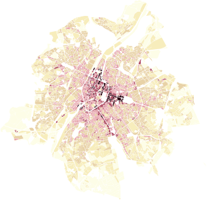
This dataset represents the built density of urban blocks within the territory of the Brussels-Capital Region. It provides four indicators: the floor space index (FSI), the ground space index (GSI), the average number of storeys, and the maximum building height.