 Geobru catalogue
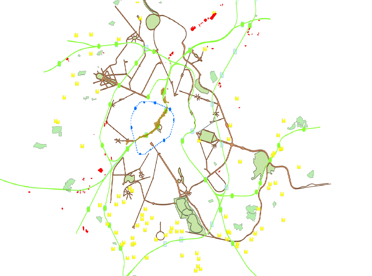
Zoning Element
Type of resources
Available actions
Topics
INSPIRE themes
Keywords
Contact for the resource
Provided by
Years
Formats
Representation types
Update frequencies
status
Scale
-
This dataset is made up of numerous types of objects corresponding to a range of different layouts or the location of various buildings or activities.
-
This dataset corresponds to the Special Land-Use Plans (les Plans Particulier d'Affectation du Sol or PPAS in French and de Bijzondere Bestemmingsplannen or BBP in Dutch). The dataset consists of a single layer showing the general perimeter of the PPAS, without identifying each specific land-use zone or its nature. It can be consulted via an ad hoc WMS and WFS. This dataset has no regulatory value and is published solely for informational purposes. Only the maps and subsequent amendments published in the Belgian Official Gazette have regulatory force.
-
This dataset represents the land use zoning elements set out in the map of the Regional Land Use Plan (le Plan Régional d’Affectation du Sol or PRAS in French and het Gewestelijk Bestemmingsplan or GBP in Dutch). It consists of a single geometry layer showing the zoning elements (without the overlays of the zone of regional interest with deferred development and of the zones of cultural, historical, aesthetic or embellishment interest). All PRAS layers are freely available via an ad hoc WMS and WFS. This dataset has no regulatory value and is published for information purposes only. Only the maps and subsequent amendments published in the Belgian Official Gazette have regulatory force.