 Geobru catalogue
Road Node
Type of resources
Available actions
Topics
INSPIRE themes
Keywords
Contact for the resource
Provided by
Years
Formats
Representation types
Update frequencies
status
Scale
-

This dataset corresponds to the routes and stops of the STIB/MIVB network (Bus).
-
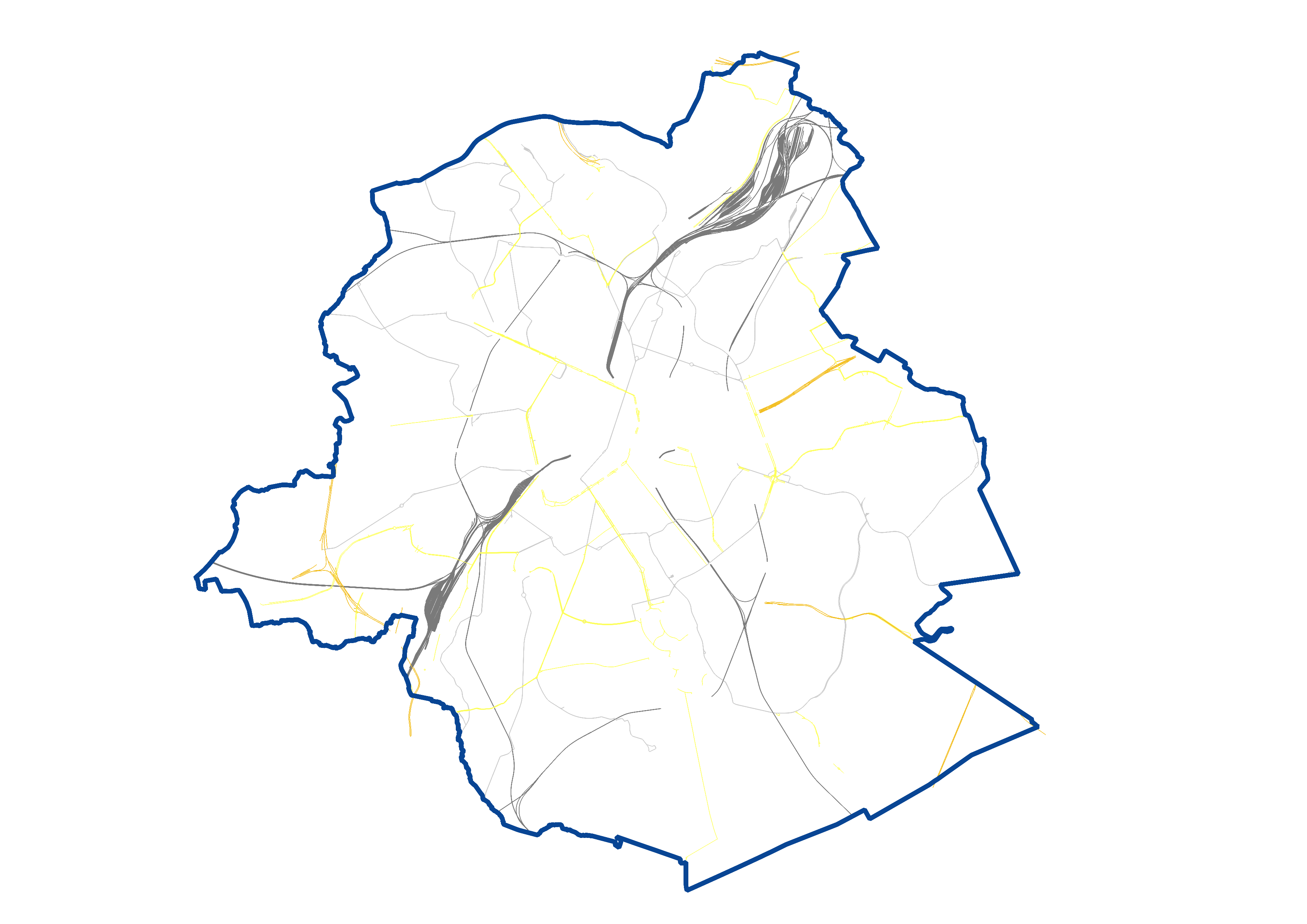
UrbIS - Transport networks corresponds to the dataset of road networks and tram and train networks in the Brussels Region. This dataset is composed of three geometric classes. The first class corresponds to the street axes (some objects located in Flanders have been integrated for visual continuity). The second corresponds to street intersections, and the third corresponds to the rail network. The dataset is freely downloadable, in the form of zipped shapefiles. The dataset is notably produced by integrating the attribute informations provided by Brussels Mobility.
-
This dataset contains data on the road transport network in the Brussels-Capital Region. The SA object corresponds to the centerlines of street segments in the Region.