 Geobru catalogue
land occupation
Type of resources
Available actions
Topics
INSPIRE themes
Keywords
Contact for the resource
Provided by
Years
Formats
Representation types
Update frequencies
status
Service types
Scale
-
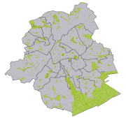
Brussels-Capital Region : database of green spaces and recreational areas in the Brussels-Capital Region, accessible to the public
-
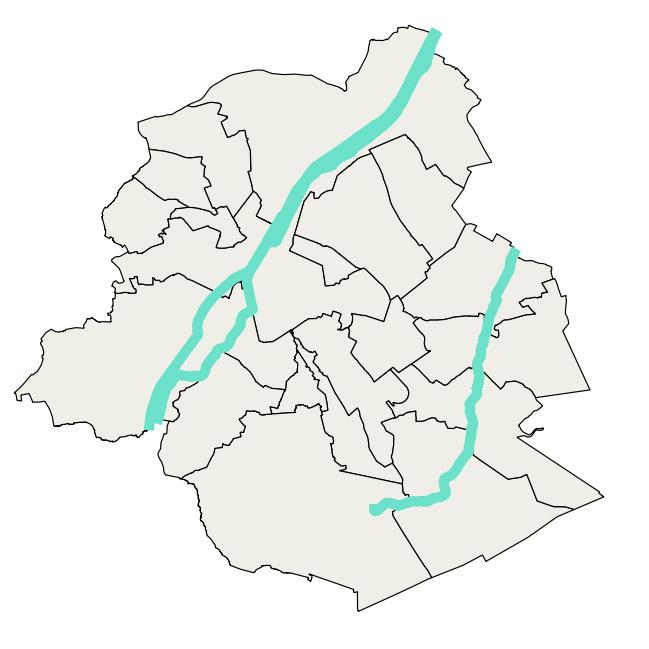
Brussels-Capital Region : watercrouse links in Brussels Region, defined under the Directive and the Ordinance Water
-
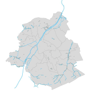
This dataset corresponds to hydrography in the Brussels-Capital Region. It is made up of nine geometric classes: drainage basins, arched watercourses, open watercourses, surface water (ponds, marshes, swamps), surface water bodies, springs, right-of-way zone for arched watercourses, non aedificandi zone.
-

Brussels-Capital Region : watercrouses in Brussels Region, defined under the Directive and the Ordinance Water
-

Brussels-Capital Region : standing Water in Brussels Region, defined under the Directive and the Ordinance Water
-

Brussels-Capital Region : drainage basins in Brussels Region, defined under the Directive and the Ordinance Water
-
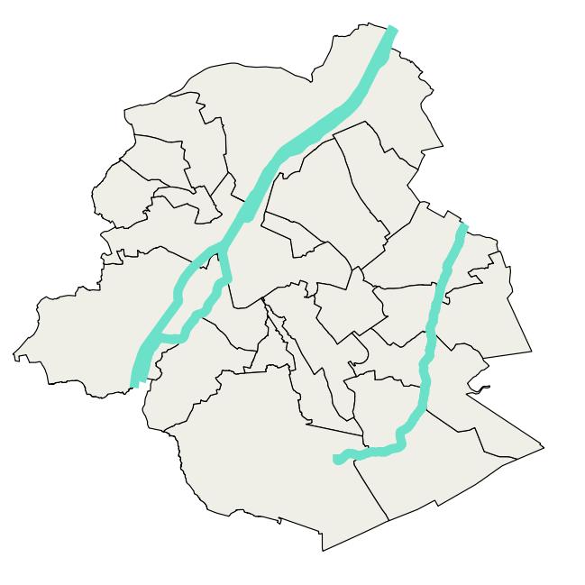
Brussels-Capital Region : data on the 3 Surface Water Bodies of the Area of Brussels, defined under the Directive and the Ordinance Water
-
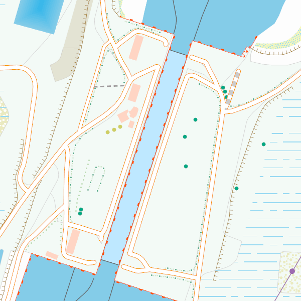
CartoWeb.be is a webservice (WMTS/WMS) offering cartographic representations at 11 scale levels (1:2,500 – 1:4,000,000) based on the NGI’s most recent vector reference data and developed for on screen display. Three layers are available for the territory of Belgium: (1) a TOPO layer available on all scales, (2) a TOPO-GREY layer, which is a greyscale version of the TOPO layer, and (3) an OVERLAY layer, available at the four largest scale levels (1:2,500 - 1:25,000), designed to be superimposed on other data. In addition, two other layers are available to represent Belgium in its European context at smaller scale levels (1:100,000 - 1:4,000,000): CROSSBORDER and CROSSBORDER-GREY.