 Geobru catalogue
railway network
Type of resources
Available actions
Topics
INSPIRE themes
Keywords
Contact for the resource
Provided by
Years
Formats
Representation types
Update frequencies
status
Service types
Scale
-
The UrbIS - Vector product (formerly UrbIS - ADM) is a global dataset covering the physical and biological surfaces of the Brussels-Capital Region. It includes data from six UrbIS products, namely “Parcels and buildings”, “Land use”, “Transport networks”, “Administrative units”, “3D buildings”, and “Points of interest”. The dataset is freely downloadable as zipped files and via the ad hoc WFS.
-
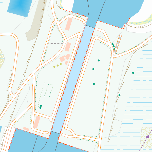
New version of CartoWeb.be (v2026.03-WMTS): action required before 1 December 2026. - WMTS version: two configuration settings have been modified. If you use WMTS in your own web or mobile applications, you must read this note : https://ngi.be/cartoweb-be-v2026-03-wmts-technical-note/ - Accessible only from 20 October 2026 to 1 December 2026 via these temporary URLs: o WMS: https://cartoweb.wms.ngi.be/beta/service?request=GetCapabilities&service=WMS&version=1.3.0 o WMTS: https://cartoweb.wmts.ngi.be/beta/1.0.0/WMTSCapabilities.xml More information: https://ngi.be/fr/offre/geodonnees-numeriques/cartoweb-be-2/ Should you have any questions: cartoweb@ngi.be. CartoWeb.be is a webservice (WMTS/WMS) offering cartographic representations at 11 scale levels (1:2,500 – 1:4,000,000) based on the NGI’s most recent vector reference data and developed for on screen display. Three layers are available for the territory of Belgium: (1) a TOPO layer available on all scales, (2) a TOPO-GREY layer, which is a greyscale version of the TOPO layer, and (3) an OVERLAY layer, available at the four largest scale levels (1:2,500 - 1:25,000), designed to be superimposed on other data. In addition, two other layers are available to represent Belgium in its European context at smaller scale levels (1:100,000 - 1:4,000,000): CROSSBORDER and CROSSBORDER-GREY.