 Geobru catalogue
built environment
Type of resources
Available actions
Topics
INSPIRE themes
Keywords
Contact for the resource
Provided by
Years
Formats
Representation types
Update frequencies
Service types
Scale
-
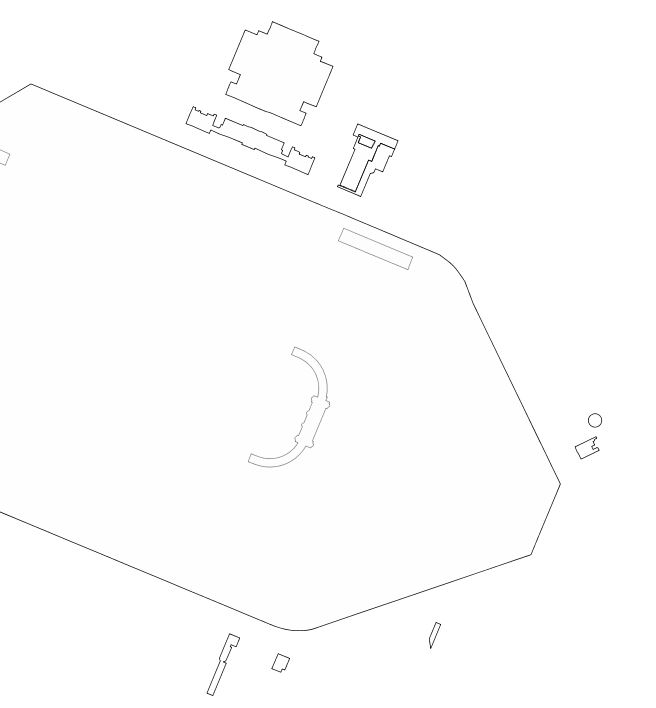
This dataset includes "any particularly remarquable building, including installations or decorative elements being a constitutive part of it" having been the subject of a decree for its conservation in the Brussels-Capital Region.
-
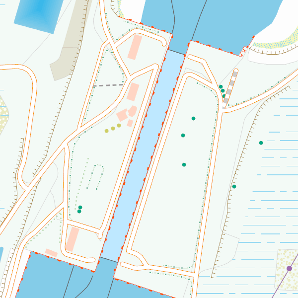
CartoWeb.be is a webservice (WMTS/WMS) offering cartographic representations at 11 scale levels (1:2,500 – 1:4,000,000) based on the NGI’s most recent vector reference data and developed for on screen display. Three layers are available for the territory of Belgium: (1) a TOPO layer available on all scales, (2) a TOPO-GREY layer, which is a greyscale version of the TOPO layer, and (3) an OVERLAY layer, available at the four largest scale levels (1:2,500 - 1:25,000), designed to be superimposed on other data. In addition, two other layers are available to represent Belgium in its European context at smaller scale levels (1:100,000 - 1:4,000,000): CROSSBORDER and CROSSBORDER-GREY.