 Geobru catalogue
Science and technology
Type of resources
Available actions
Topics
INSPIRE themes
Keywords
Contact for the resource
Provided by
Years
Formats
Representation types
Update frequencies
status
Service types
Scale
-

This web service provides a display of the dataset Cadastral parcels - INSPIRE. This webservice complies with the INSPIRE specifications and is available in several formats. It is recommended to use the PNG format.
-
This web service provides a download per object of the dataset Cadastral parcels - INSPIRE. . This webservice complies with the INSPIRE specifications.
-
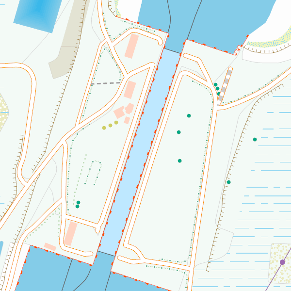
Cadastral Parcels - INSPIRE corresponds to the dataset of Belgian plan cadastral parcels complying with INSPIRE specifications. This dataset is composed of two classes. The first class contains cadastral zoning and the second class contains cadastral parcel. The entire dataset can be downloaded via the ad hoc WFS.
-
CartoWeb.be is a Web Service (WMTS/WMS) containing cartographic representations covering 11 scale levels. CartoWeb.be offers a cartographic representation which has been developed specifically for on-screen viewing of the NGI’s most recent vector data sets. Three versions are available for the Belgian territory: 1) a TOPO layer containing a cartographic representation at all scales; 2) a TOPO-GREY layer, which is the symbolisation in different shades of grey and blue of the TOPO layer. It constitutes an ideal map background; 3) an OVERLAY (1:2 500 - 1:25 000) layer destined to be used as an overlay on other data (orthophotographs for instance). This layer contains the symbolisation of a few layers only. Two other layers, CROSSBORDER and CROSSBORDER-GREY, are available in order to allow viewing (only on the smallest scales 1:100 000 – 1:4 000 000) the European context of Belgium. The extent of this representation is limited and could change in the following versions. It is best to combine the CROSSBORDER layer with the TOPO layer. It is best to combine the CROSSBORDER-GREY layer with the TOPO-GREY-layer.