 Geobru catalogue
2007
Type of resources
Available actions
Topics
INSPIRE themes
Provided by
Years
Formats
Representation types
Update frequencies
status
Scale
-

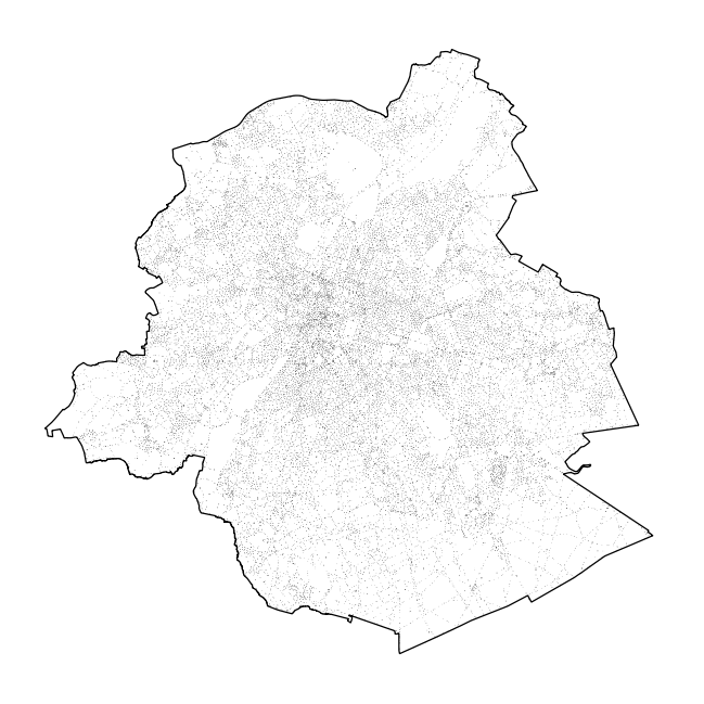
Brussels-Capital Region : building means any physical construction formed of rigid exterior walls, roofed, permanently attached to land, and designed to accommodate human activity and / or shelter for animals, goods and machinery.
-
Brussels-Capital Region : toponymy public spaces is the name of : - Highways; - Areas of water; - Green areas; - Cemeteries.
-

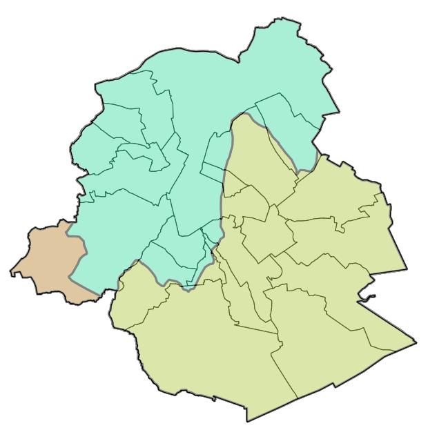
Brussels-Capital Region : Brussels-Capital statistical areas are grouped to form the districts of monitoring. Monitoring the neighborhood is an urban observation tool to help track and understand the evolution of Brussels districts in different aspects (demographic, social, health, economy, housing, mobility, quality of life, participation, ... ) to improve the efficiency of urban policy and help guide public and private investment in urban renewal ...
-
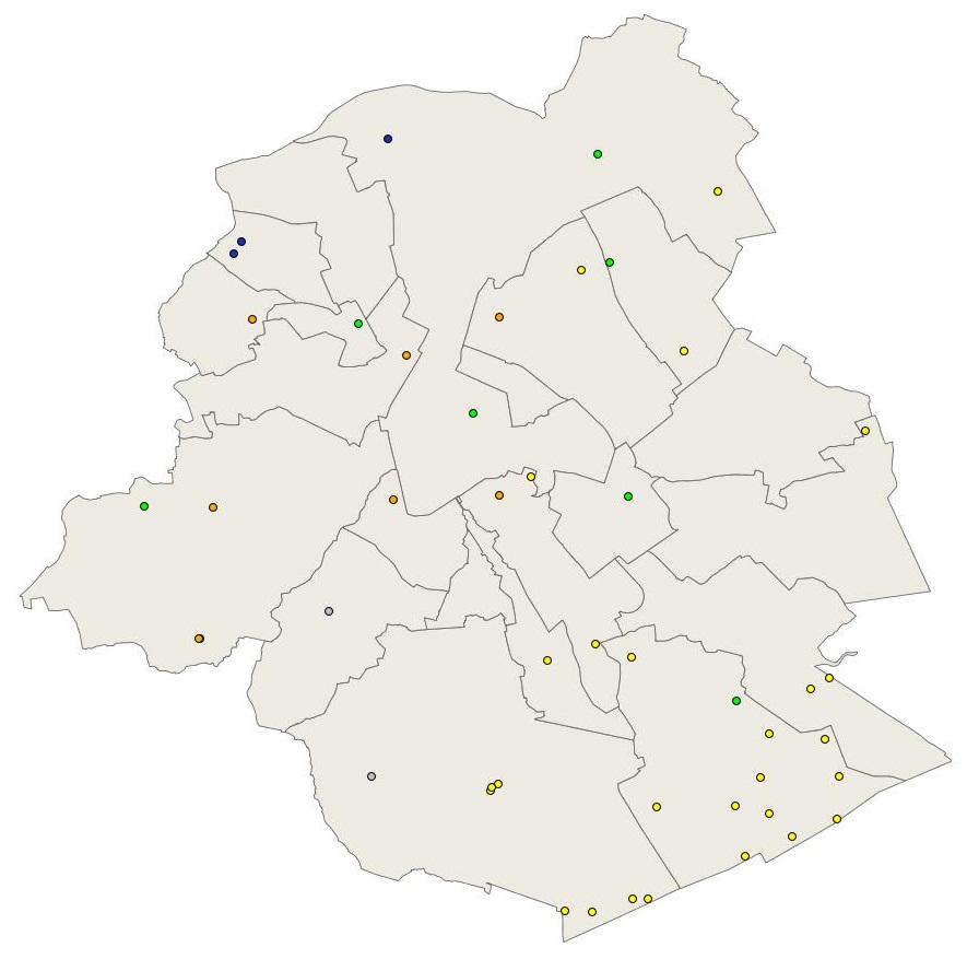
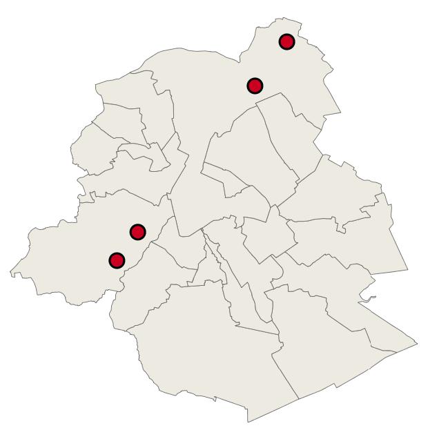
Brussels-Capital Region : location of the different groundwater level monitoring sites (or piezometric sites) managed by Brussels Environment under the surveillance monitoring of the groundwater status in accordance with the Ordonnance and the Water Framework Directive. Indication of the analyzed water body, the European Code and the Brussels code of the monitoring site.
-
Brussels-Capital Region : location of the different groundwater quality monitoring sites managed by Brussels Environment and which results are transmitted through the reporting to Europe (under Article 8 of the Water Framework Directive). Indication of the analyzed water body, the European Code and the Brussels code of the monitoring site. Distinction between two types of monitoring: surveillance monitoring for all groundwater bodies (type_monitoring = 1) and operational monitoring for groundwater bodies identified as being at risk of failing to achieve the objectives of good status (type_monitoring = 2)
-

Brussels-Capital Region: Drinking water supply zones, in accordance with Directive 2020/2184 on the quality of water intended for human consumption. A supply zone is a geographically defined area within which water intended for human consumption comes from one or more sources and within which water quality may be considered as being approximately uniform.
-
Brussels-Capital Region: Map of the areas affected by historical flooding (past events). Prepared in accordance with Article 4 of the European Flood Directive 2007/60/EC.
-
Brussels-Capital Region: location of the three aircraft noise restriction zones defined by the order of the Government of the Brussels-Capital Region of 27 May 1999 on the fight against the noise generated by air traffic.
-
Brussels-Capital Region : this directive has as an aim the prevention of the major accidents implying of dangerous substances and the limitation of their consequences for the man and the environment, in order to ensure in a coherent and effective way in all the country of the high levels of protection. The geographical data file SEVESO consists of several classes of objects which make it possible to locate all the SEVESO sites on the territory of the area of Brussels.
-
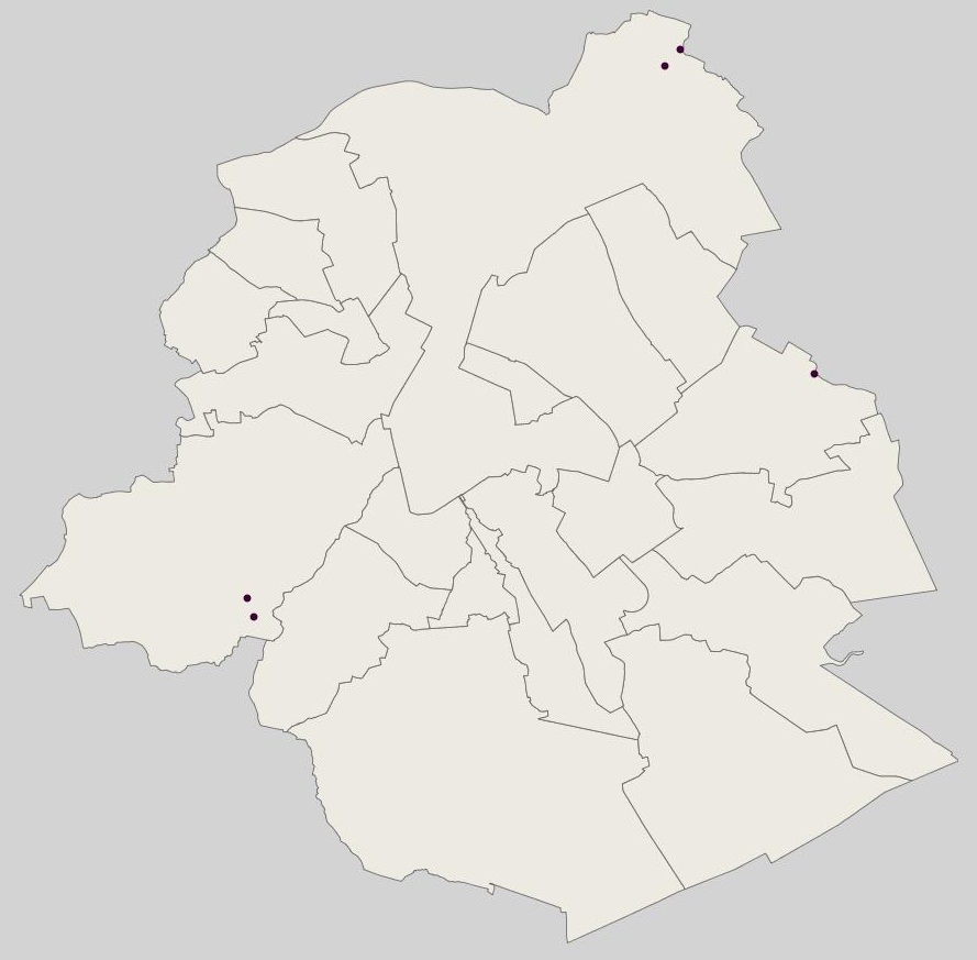
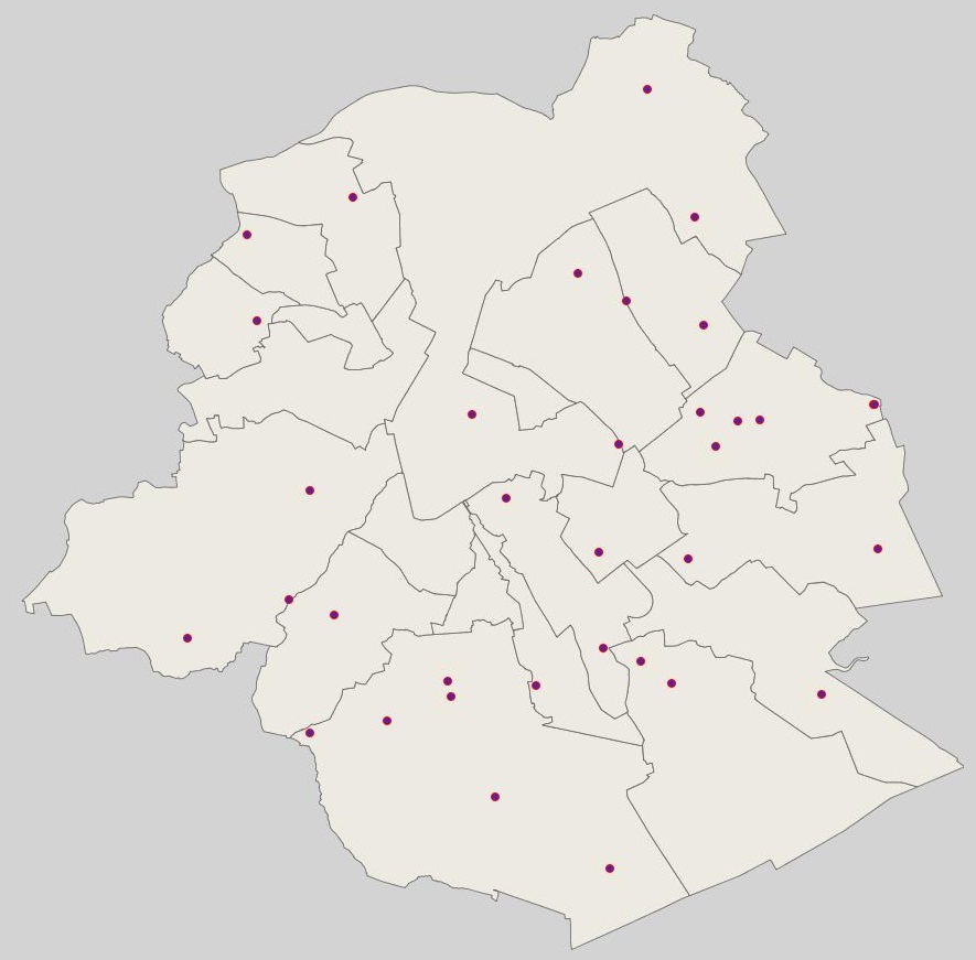
Brussels-Capital Region : location of the different surface water quality monitoring sites under the Water Framework Ordonnance and Directive. Surface waters concerned are surface water bodies: Canal, Senne and Woluwe. Monitoring involves a series of chemical, physico-chemical parameters... The code and the name of the monitoring site are given.