 Geobru catalogue
2017
Type of resources
Available actions
Topics
INSPIRE themes
Provided by
Years
Formats
Representation types
Update frequencies
status
Service types
Scale
Resolution
-
This WMS service allows to display Brussels Environment datasets that comply with INSPIRE data specifications relating to INSPIRE theme 'Landcover'.
-
This dataset includes the RGB (Red, Green, Blue) orthophotos created in 2017. The images cover the entire Brussels Capital Region, with a resolution of 5 centimeters.
-

Brussels-Capital Region : Railway traffic noise register for the reference year 2021 (noise contours maps) for the Lden acoustic indicator (day-evening-night noise indicator). These maps are produced with an acoustic model in accordance with the prescriptions of the European directive 2002/49/EC.
-

Brussels-Capital Region : Road traffic noise register for the reference year 2021 (noise contours maps) for the Ln acoustic indicator (night-time noise indicator). These maps are produced with an acoustic model in accordance with the prescriptions of the European directive 2002/49/EC.
-

Brussels-Capital Region : Road traffic noise register for the reference year 2021 (noise contours maps) for the Lden acoustic indicator (day-evening-night noise indicator). These maps are produced with an acoustic model in accordance with the prescriptions of the European directive 2002/49/EC.
-

Brussels-Capital Region : Railway traffic noise register for the reference year 2021 (noise contours maps) for the Ln acoustic indicator (night-time noise indicator). These maps are produced with an acoustic model in accordance with the prescriptions of the European directive 2002/49/EC.
-

Brussels-Capital Region : Air traffic noise map for the reference year 2021 (noise contours maps) for the Lden acoustic indicator (day-evening-night noise indicator). These maps are produced with an acoustic model in accordance with the prescriptions of the European directive 2002/49/EC
-
Web Map Service for layers of Brussels Mobility
-
Brussels-Capital Region: This service is the service mapping data visualization of the dataset Hydrography of Brussels Environment (compliant with the data specifications of INSPIRE) including the watercourse network, drainage basin and surface waters of the Brussels-Capital Region.
-
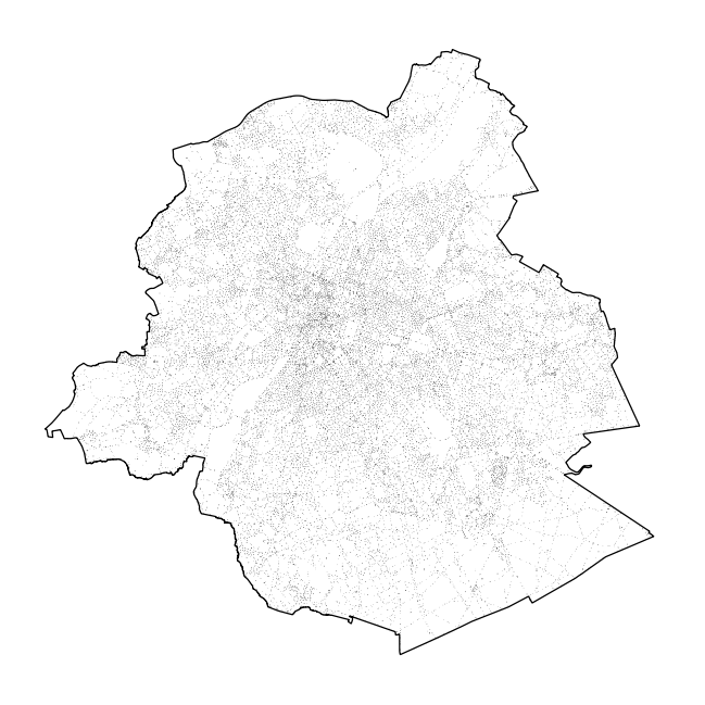
Brussels-Capital Region : toponymy public spaces is the name of : - Highways; - Areas of water; - Green areas; - Cemeteries.