 Geobru catalogue
continual
Type of resources
Available actions
Topics
INSPIRE themes
Keywords
Contact for the resource
Provided by
Formats
Representation types
Update frequencies
Service types
Scale
-
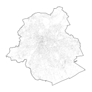
This dataset contains data on geographical names in the Brussels-Capital Region. The toponymy of public spaces refers to the naming of : - Highways; - Areas of water; - Green areas; - Cemeteries.
-
This view service allows, by means of a formatted URL, to display the patrimonial protected sites in the Brussels-Capital Region.
-

This dataset contains data on the statistical sectors in the Brussels-Capital Region. The statistical areas are grouped to form the districts of monitoring. Monitoring the neighborhood is an urban observation tool to help track and understand the evolution of Brussels districts in different aspects (demographic, social, health, economy, housing, mobility, quality of life, participation, ... ) to improve the efficiency of urban policy and help guide public and private investment in urban renewal.
-
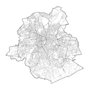
This dataset contains data on the road transport network in the Brussels-Capital Region. The SA object corresponds to the centerlines of street segments in the Region.
-
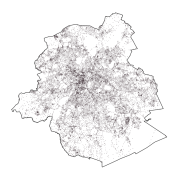
This dataset contains data on addresses in the Brussels-Capital Region. An address point is the graphical representation of one or more house numbers located within buildings or on parcels.
-
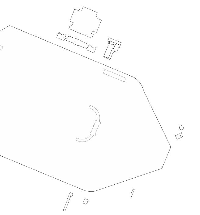
This dataset includes "any particularly remarquable building, including installations or decorative elements being a constitutive part of it" having been the subject of a decree for its conservation in the Brussels-Capital Region.