 Geobru catalogue
2012
Type of resources
Available actions
Topics
INSPIRE themes
Provided by
Years
Formats
Representation types
Update frequencies
status
Scale
Resolution
-
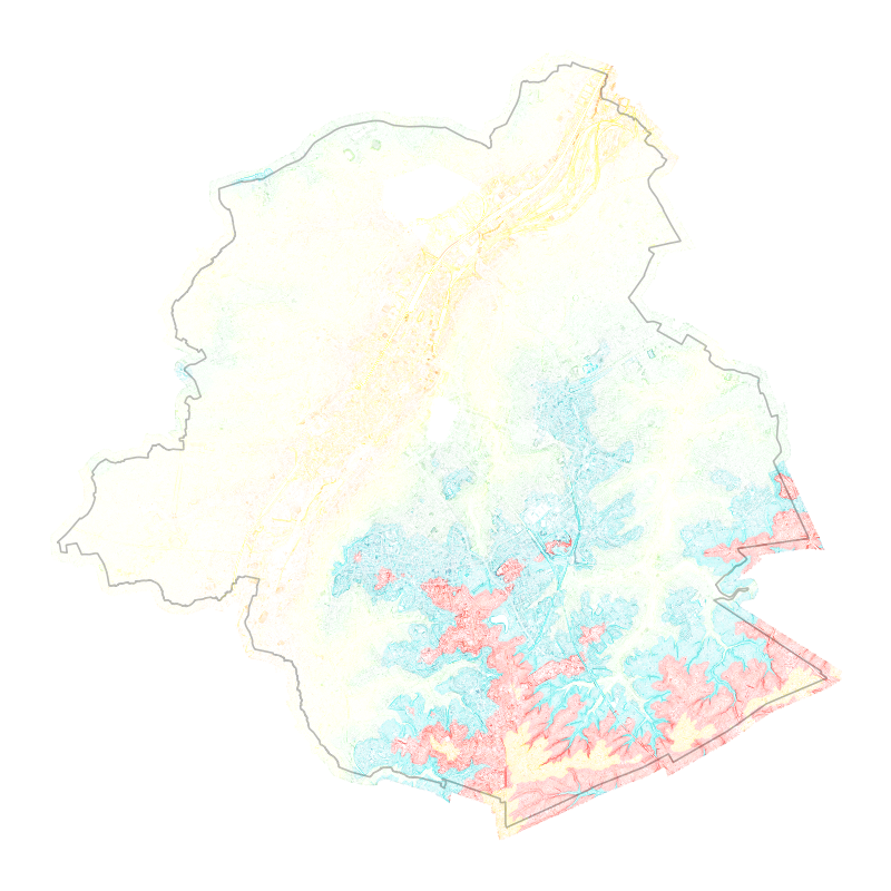
Brussels-Capital Region: Contour lines give an overview of the real ground on a topographic map. A contour line is the intersection of real terrain with a horizontal plane of given elevation. Contour lines are obtained from the Digital Terrain Model (DTM).
-
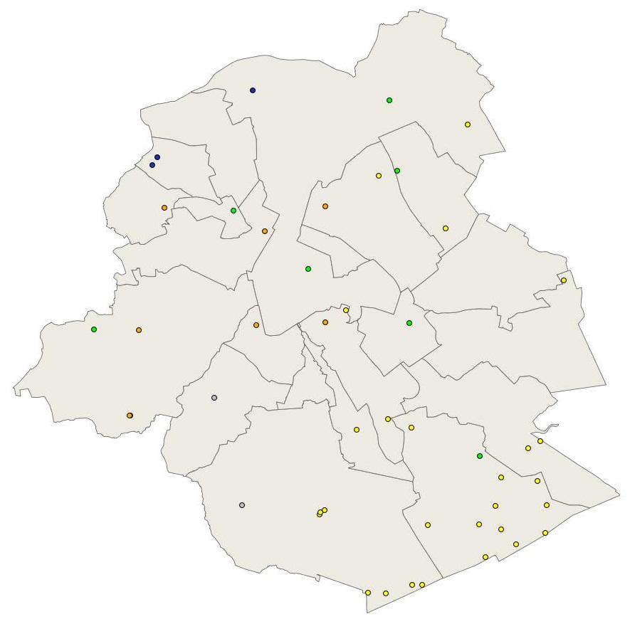
Brussels-Capital Region : location of the different groundwater level monitoring sites (or piezometric sites) managed by Brussels Environment under the surveillance monitoring of the groundwater status in accordance with the Ordonnance and the Water Framework Directive. Indication of the analyzed water body, the European Code and the Brussels code of the monitoring site.
-
Brussels-Capital Region : location of the different groundwater quality monitoring sites managed by Brussels Environment and which results are transmitted through the reporting to Europe (under Article 8 of the Water Framework Directive). Indication of the analyzed water body, the European Code and the Brussels code of the monitoring site. Distinction between two types of monitoring: surveillance monitoring for all groundwater bodies (type_monitoring = 1) and operational monitoring for groundwater bodies identified as being at risk of failing to achieve the objectives of good status (type_monitoring = 2)
-
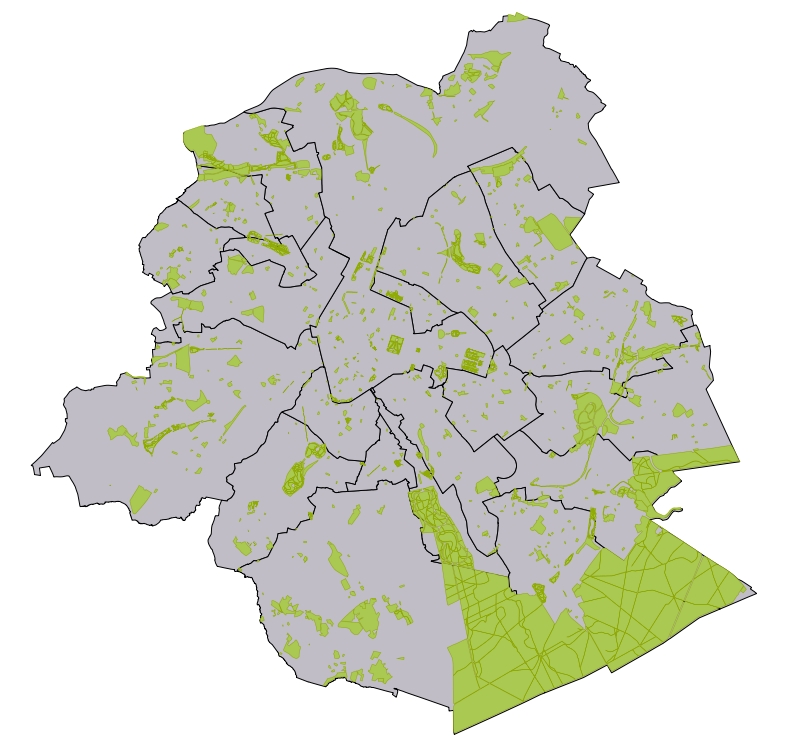
Brussels-Capital Region : database of green spaces and recreational areas in the Brussels-Capital Region, accessible to the public
-
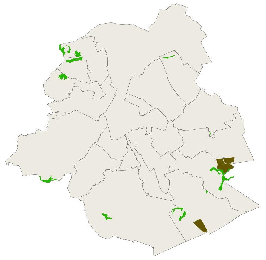
Brussels-Capital Region : data on the nature and forest reserves in the Brussels-Capital Region . Official name of the reserve; date of the legal act identifying the reserve; type of reserve
-
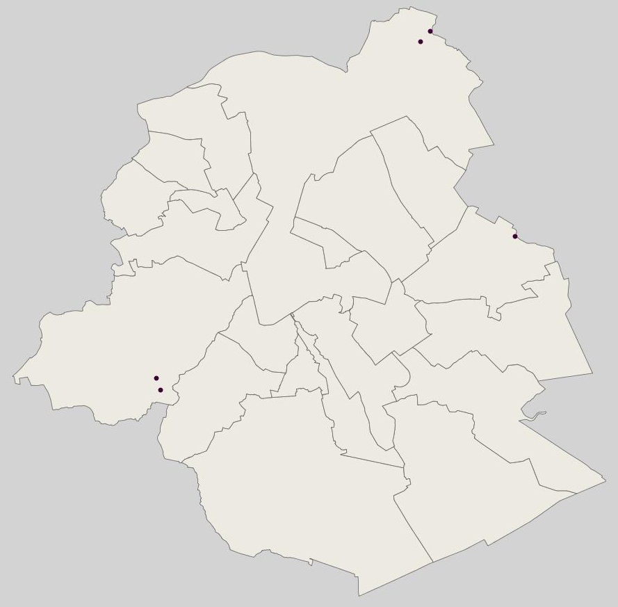
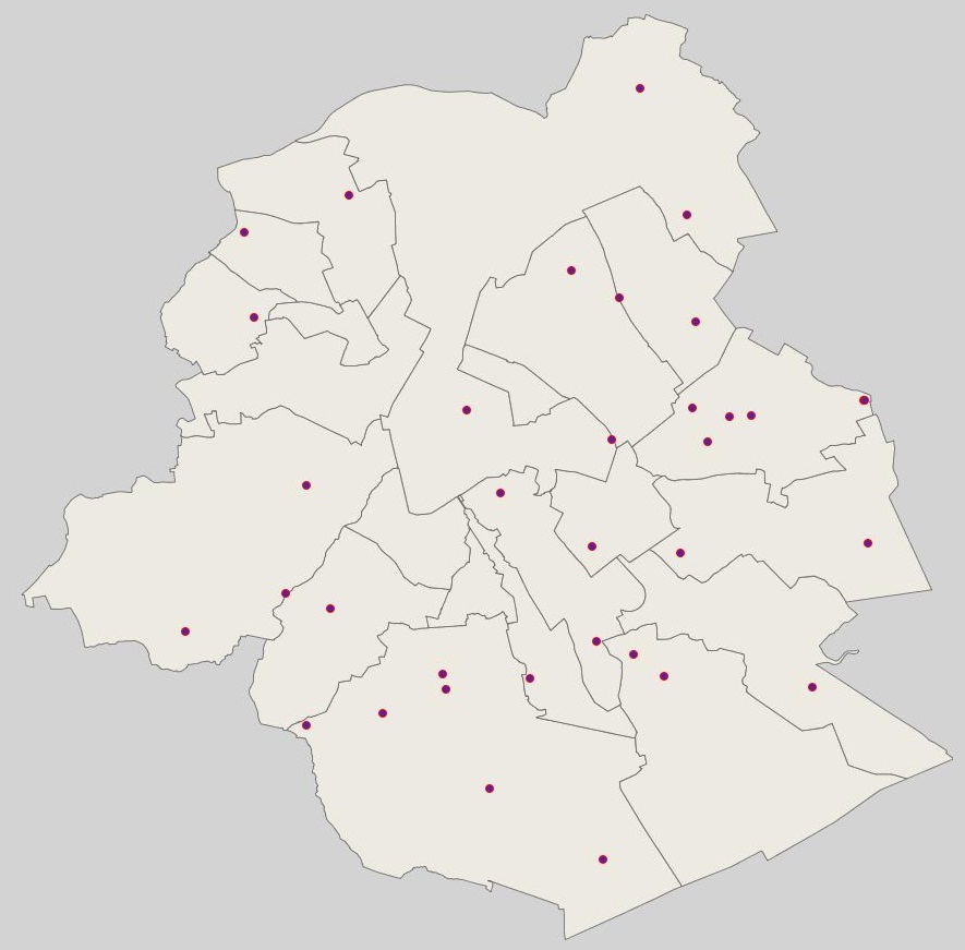
Brussels-Capital Region : location of the different surface water quality monitoring sites under the Water Framework Ordonnance and Directive. Surface waters concerned are surface water bodies: Canal, Senne and Woluwe. Monitoring involves a series of chemical, physico-chemical parameters... The code and the name of the monitoring site are given.