INSPIRE - Drinking water supply zones
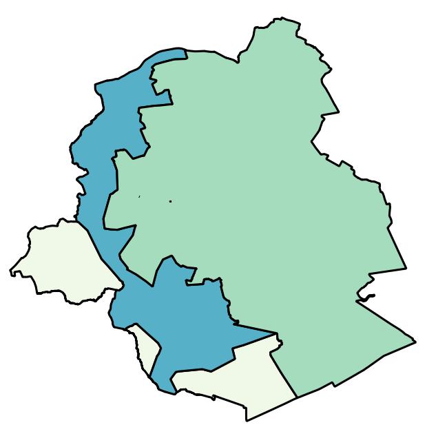
Brussels-Capital Region: A supply zone is a geographically defined area within which water intended for human consumption comes from one or more sources and within which water quality may be considered as being approximately uniform.
Simple
- Date (Revision)
- 2018-04-30
- Date (Publication)
- 2018-04-30
- Date (Creation)
- 2007-09-17
- Identifier
- BE.BELB / BRU_ENVI_5dc0b66b-7bfc-40e0-892f-0e53b29dbd93
- Status
- Completed
- GeoBru Administrative Regions
-
- Belgium
- Région de Bruxelles-Capitale
- GeoBru brussels keywords
-
- Reporting Inspire
- Access constraints
- Other restrictions
- Other constraints
- No limitations to public access
- Use constraints
- Other restrictions
- Other constraints
- Creative Commons Attribution (CC-BY) - required citation of data source. The full license is available here: https://creativecommons.org/licenses/by/4.0/legalcode
- Spatial representation type
- Vector
- Metadata language
- English
- Topic category
-
- Environment
N
S
E
W
))
- Unique resource identifier
- EPSG:3035
- Hierarchy level
- Dataset
Conformance result
- Date (Publication)
- 2010-12-08
- Explanation
- The dataset does fullfill the minimal requirements
- Pass
- Yes
- Statement
- Bruxelles Environnement / Leefmilieu Brussel
- File identifier
- 5dc0b66b-7bfc-40e0-892f-0e53b29dbd93 XML
- Metadata language
- Français
- Hierarchy level
- Dataset
- Hierarchy level name
- dataset
- Date stamp
- 2025-06-25T12:06:22
- Metadata standard name
- INSPIRE Metadata Implementing Rules
- Metadata standard version
- Technical Guidelines for implementing dataset and service metadata based on ISO/TS 19139:2007 (Version 2.0.1)
Overviews

thumbnail

large_thumbnail
Spatial extent
N
S
E
W
))
Provided by

Associated resources
Not available
 Geobru catalogue