 Geobru catalogue
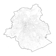
Regional
Type of resources
Available actions
Topics
INSPIRE themes
Keywords
Contact for the resource
Provided by
Years
Formats
Representation types
Update frequencies
status
Service types
Scale
-
This service allows downloading Brussels Mobility datasets.
-
This service allows downloading of Paradigm's datasets.
-
Brussels-Capital Region : OGC:GML Download service Urban for patrimonial protected sites
-
Web Map Service for layers of Brussels Mobility
-
Brussels-Capital Region : toponymy public spaces is the name of : - Highways; - Areas of water; - Green areas; - Cemeteries.
-
Brussels-Capital Region : OGC:WMS service Urban for patrimonial protected sites
-
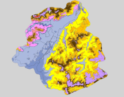
Brussels-Capital Region: spatial extents outcropping under the quaternary units of the Stratigraphic Units of the Brussels-Capital Region (SU/BCR). This data is limited to the Brussels-Capital Region’s border extended with a 500 m buffer zone. The hydrogeological unit (HU/BCR) of each SU/BRC is indicated in the attribute data. These spatial extents were extracted from the BruStrati3D v1.1 geological model. This data is generated from models and may contain errors, inaccuracies and gaps. It has informative value and may under no circumstances replace a study carried out by an expert. Bruxelles Environnement cannot be held liable for the consequences of the use of this information.
-
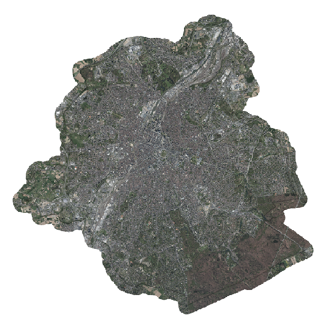
This dataset includes the RGB (Red, Green, Blue) orthophotos created in 2018. The images cover the entire Brussels Capital Region, with a resolution of 5 centimeters.
-
This dataset includes the RGB (Red, Green, Blue) orthophotos created in 2017. The images cover the entire Brussels Capital Region, with a resolution of 5 centimeters.
-

Brussels-Capital Region : Brussels-Capital statistical areas are grouped to form the districts of monitoring. Monitoring the neighborhood is an urban observation tool to help track and understand the evolution of Brussels districts in different aspects (demographic, social, health, economy, housing, mobility, quality of life, participation, ... ) to improve the efficiency of urban policy and help guide public and private investment in urban renewal ...