 Geobru catalogue
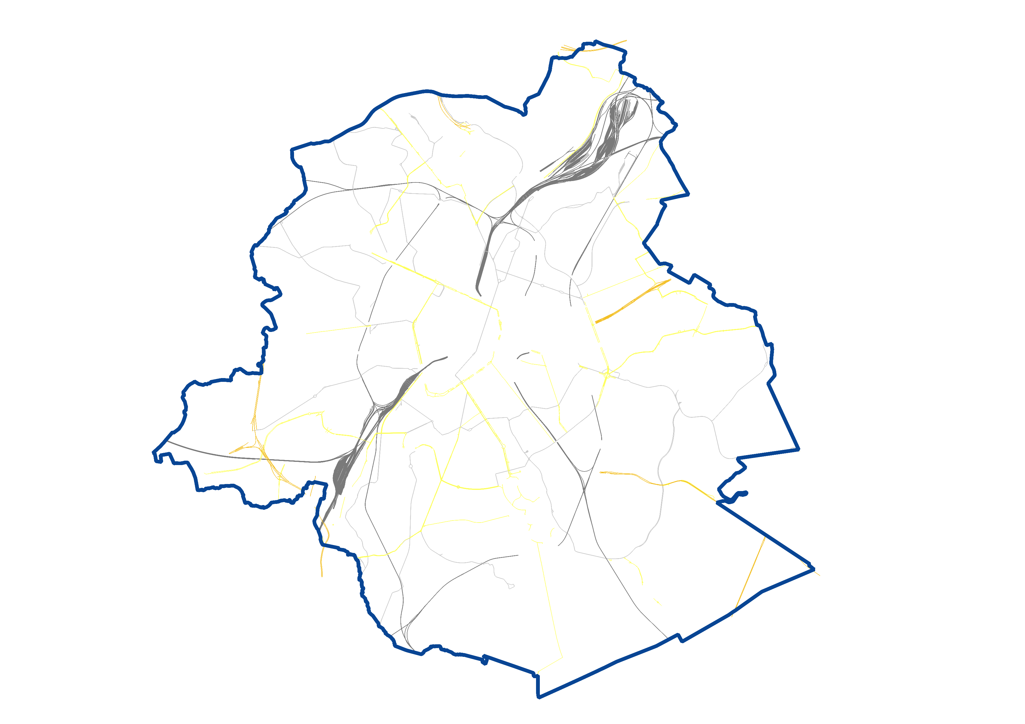
UrbIS - Transport networks
UrbIS - Transport networks corresponds to the dataset of road networks and tram and train networks in the Brussels Region. This dataset is composed of three geometric classes. The first class corresponds to the street axes (some objects located in Flanders have been integrated for visual continuity). The second corresponds to street intersections, and the third corresponds to the rail network.
The dataset is freely downloadable, in the form of zipped shapefiles. The dataset is notably produced by integrating the attribute informations provided by Brussels Mobility.
Simple
- Date (Creation)
- 2023-12-01
- Date (Revision)
- 2026-06-05
- Identifier
- CIRB-CIBG / af85669e-848b-11ee-a4a0-00090ffe0001
- Status
- Completed
https://be.brussels/en/about-region/structure-and-organisations/administrations-and-institutions-region/paradigm
- Maintenance and update frequency
- Annually
- GEMET Themes
-
- rail transport
- road transport
- Access constraints
- Other restrictions
- Other constraints
- No limitations to public access
- Use constraints
- Other restrictions
- Spatial representation type
- Vector
- Denominator
- 25000
- Metadata language
- Nederlands; Vlaams
- Metadata language
- Français
- Character set
- UTF8
- Topic category
-
- Transportation
- Description
- Brussels-Capital Region
))
- Unique resource identifier
- EPSG:31370
- Distribution format
-
-
Esri Shapefile
(
10.2
)
-
Autocad DWG
()
-
GeoPackage
()
-
Esri Shapefile
(
10.2
)
- OnLine resource
- https://geoservices-vector.irisnet.be/geoserver/urbisvector/ows?Service=WMS&Version=1.3.0&Request=GetCapabilities&Language=eng ( OGC Web Map Service )
- OnLine resource
- https://geoservices-vector.irisnet.be/geoserver/urbisvector/wfs?Service=WFS&Version=2.0.0&Request=GetCapabilities&Language=eng ( OGC Web Feature Service )
- OnLine resource
- https://urbisdownload.datastore.brussels/atomfeed/af847c40-848b-11ee-9a1f-00090ffe0001-en.xml ( ATOM Syndication Format )
- OnLine resource
- Styles (sld) of the product ( WWW:DOWNLOAD-1.0-http--download )
- Hierarchy level
- Dataset
Conformance result
- Date (Publication)
- 2024-04-08
- Pass
- Yes
- Statement
- This dataset is produced by Paradigm based on aerial photographs and topographical surveys by integrating the attribute informations provided by Brussels Mobility. It takes into account proven errors reported by individual and institutional users.
- File identifier
- af847c40-848b-11ee-9a1f-00090ffe0001 XML
- Metadata language
- English
- Character set
- UTF8
- Parent identifier
- UrbIS - Vector f3ad5174-4a86-11ef-b009-010101010000
- Hierarchy level
- Dataset
- Date stamp
- 2026-06-16T08:54:46
- Metadata standard name
- Brussels INSPIRE metadata profil
Overviews
Spatial extent
Provided by
