 Geobru catalogue
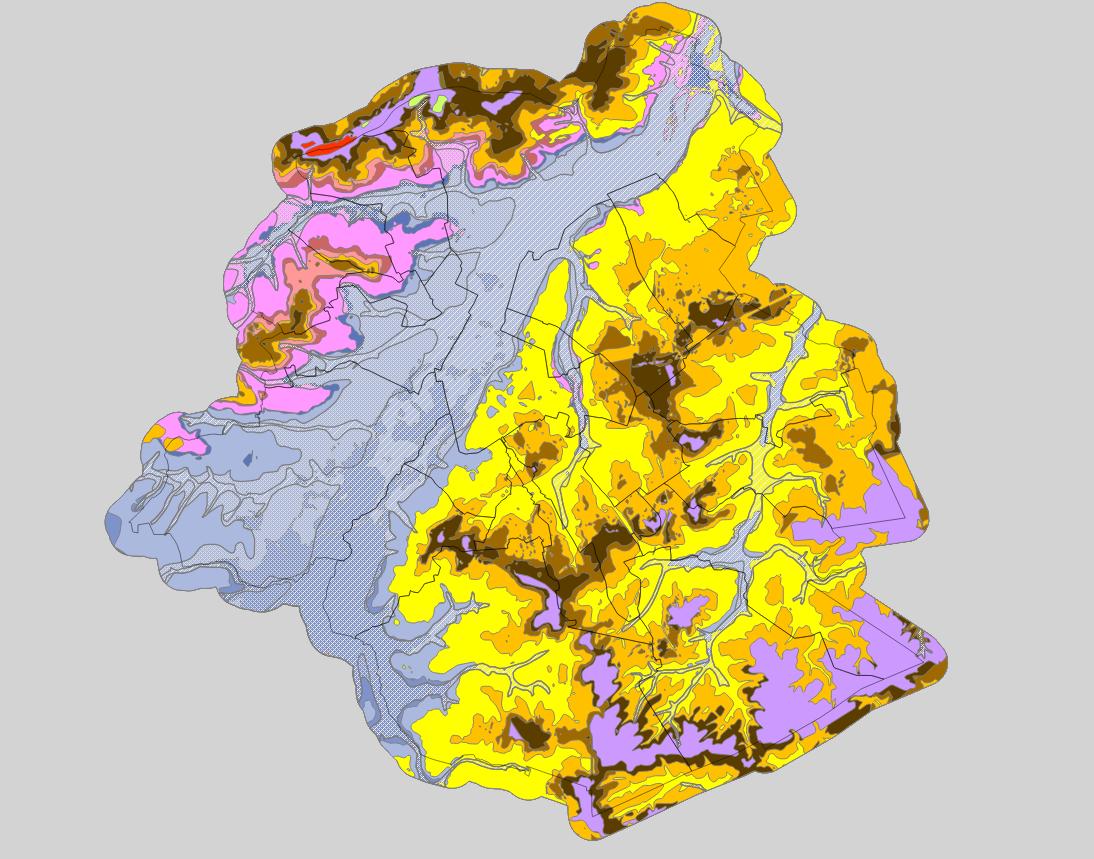
INSPIRE - Stratigraphic units
Brussels-Capital Region : spatial extents of the stratigraphic units (SU/BCR), SU/BCR_011 Backfill and SU/BCR_12 Silts cover excepted. This data is limited to the Brussels-Capital Region’s border extended with a 500 m buffer zone. The hydrogeological unit (HU/BCR) of each SU/BRC is indicated in the attribute data. These spatial extents were extracted from the BruStrati3D v1.1 geological model, except for the extensions of the quaternary units which were extracted from the Databank Ondergrond Vlaanderen database.
This data is generated from models and may contain errors, inaccuracies and gaps. It has informative value and may under no circumstances replace a study carried out by an expert. Bruxelles Environnement cannot be held liable for the consequences of the use of this information.
Simple
- Date (Publication)
- 2019-03-07
- Date (Revision)
- 2019-03-07
- Date (Creation)
- 2019-03-07
- Identifier
- BE.BELB / BRU_ENVI_56f23869-49cc-4cd9-bf29-0060efb6a87a
- Maintenance and update frequency
- As needed
- GeoBru Administrative Regions
-
- Belgium
- Région de Bruxelles-Capitale
- GeoBru brussels keywords
-
- Reporting Inspire
- Access constraints
- Other restrictions
- Other constraints
- No limitations to public access
- Use constraints
- Other restrictions
- Other constraints
- Creative Commons Attribution (CC-BY) - required citation of data source. The full license is available here: https://creativecommons.org/licenses/by/4.0/legalcode
- Spatial representation type
- Vector
- Denominator
- 500
- Metadata language
- Français
- Topic category
-
- Geoscientific information
))
- gml32:beginPosition
- 2019-03-07
- gml32:endPosition
- 2024-01-01
- Unique resource identifier
- EPSG:31370
- Distribution format
-
-
GML
()
-
GML
()
- Units of distribution
- B
- Transfer size
- 353945
- OnLine resource
- OnLine resource
- Hierarchy level
- Dataset
Conformance result
- Date (Publication)
- 2010-12-08
- Explanation
- The dataset does fullfill the minimal requirements
- Pass
- Yes
- Statement
- Bruxelles Environnement / Leefmilieu Brussel
- File identifier
- 56f23869-49cc-4cd9-bf29-0060efb6a87a XML
- Metadata language
- Français
- Character set
- MD_CharacterSetCode_utf8
- Hierarchy level
- Dataset
- Date stamp
- 2025-12-11T21:27:05
- Metadata standard name
- ISO19115
- Metadata standard version
- 2003/Cor.1:2006
Overviews

Spatial extent
Provided by
