 Geobru catalogue
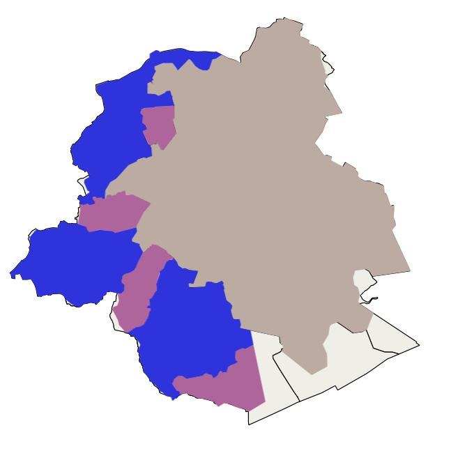
Drinking water supply zones
This dataset corresponds to drinking water supply zones in the Brussels-Capital Region from 2020 to 2024, in accordance with Directive 2020/2184 on the quality of water intended for human consumption. It is made up of one geometric class: drinking water supply zones.
Simple
- Date (Publication)
- 2018-05-09
- Date (Revision)
- 2025-06-30
- Identifier
- BE.BELB / BRU_ENVI_51f04da4-2700-4ff2-99d6-bbbfaa6578e2
- Maintenance and update frequency
- As needed
- GeoBru Administrative Regions
-
- Belgium
- Région de Bruxelles-Capitale
- Spatial scope
-
- Regional
- GEMET - INSPIRE themes, version 1.0
-
- Area management/restriction/regulation zones and reporting units
- Access constraints
- Other restrictions
- Other constraints
- No limitations to public access
- Use constraints
- Other restrictions
- Other constraints
- Creative Commons Attribution (CC-BY) - required citation of data source. The full license is available here: https://creativecommons.org/licenses/by/4.0/legalcode
- Spatial representation type
- Vector
- Denominator
- 500
- Metadata language
- Français
- Topic category
-
- Environment
N
S
E
W
))
- gml32:beginPosition
- 1999-05-25
- gml32:endPosition
- 2025-01-01
- Unique resource identifier
- EPSG:31370
- Hierarchy level
- Dataset
Conformance result
- Date (Publication)
- 2010-12-08
- Explanation
- The dataset does not fullfill the minimal requirements
- Pass
- No
- Statement
- Bruxelles Environnement / Leefmilieu Brussel
- File identifier
- 51f04da4-2700-4ff2-99d6-bbbfaa6578e2 XML
- Metadata language
- Français
- Character set
- MD_CharacterSetCode_utf8
- Hierarchy level
- Dataset
- Date stamp
- 2025-12-09T17:24:07
- Metadata standard name
- ISO19115
- Metadata standard version
- 2003/Cor.1:2006
Overviews

Spatial extent
N
S
E
W
Provided by

Associated resources
Not available