 Geobru catalogue
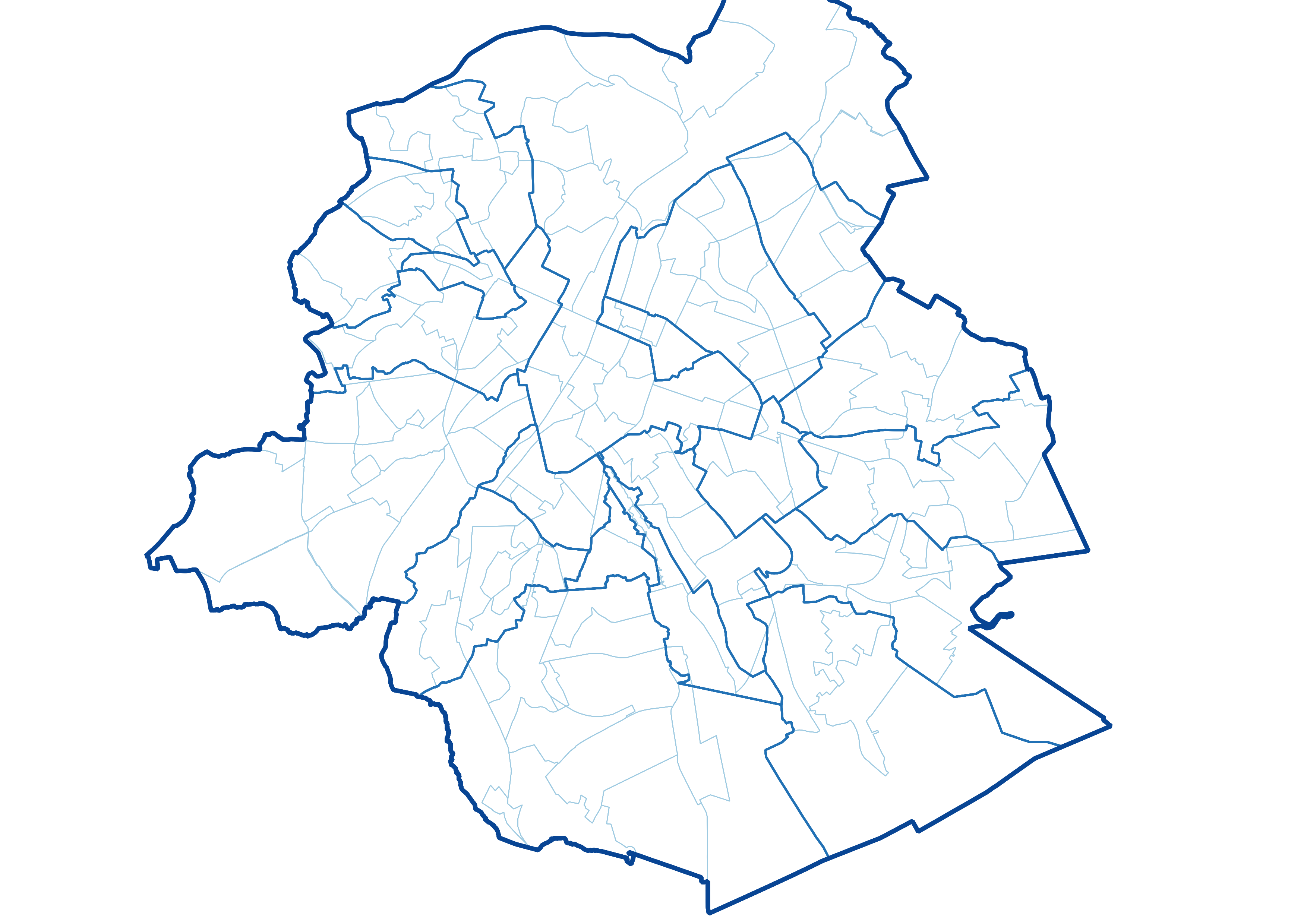
UrbIS - Administrative units
UrbIS - Administrative Units is the Brussels Region administrative and statistical units dataset. This dataset is made up of six different geometric classes. The first class is the territory of the Brussels Region. The second is the territory of the nineteen municipalities that make up the Region, the third is the six police zones in the Region, the fourth is the monitoring districts, the fifth is the statistical sectors.
The dataset is freely downloadable as a zipped shapefile. The dataset is produced by integrating data from FPS Finance and FPS Economy. Their respective licences apply to the classes deriving from them.
Simple
- Date (Creation)
- 2022-12-01
- Date (Revision)
- 2026-06-05
- Identifier
- CIRB-CIBG / f6b8f84f-6a62-11ed-91ba-010101010000
- Status
- Completed
https://be.brussels/en/about-region/structure-and-organisations/administrations-and-institutions-region/paradigm
- Maintenance and update frequency
- Annually
- Access constraints
- Other restrictions
- Other constraints
- No limitations to public access
- Use constraints
- Other restrictions
- Other constraints
-
The SPF Finances license applies to police zones, municipalities, and the region. It is available in french (https://finances.belgium.be/sites/default/files/Licence_plan_opendata_FR.PDF) and in dutch (https://financien.belgium.be/sites/default/files/Licentie_plan_opendata_NL.PDF).
The SPF Economy license applies to statistical sectors. It is available here: https://statbel.fgov.be/sites/default/files/files/opendata/Licence%20open%20data_EN.pdf.
- Spatial representation type
- Vector
- Denominator
- 25000
- Metadata language
- English
- Metadata language
- Nederlands; Vlaams
- Metadata language
- Français
- Character set
- UTF8
- Topic category
-
- Boundaries
- Description
- Brussels-Capital Region
))
- Unique resource identifier
- EPSG:31370
- Distribution format
-
-
Esri Shapefile
(
10.2
)
-
Autocad DWG
()
-
GeoPackage
()
-
Esri Shapefile
(
10.2
)
- OnLine resource
- https://geoservices-vector.irisnet.be/geoserver/urbisvector/ows?Service=WMS&Version=1.3.0&Request=GetCapabilities&Language=eng ( OGC Web Map Service )
- OnLine resource
- https://geoservices-vector.irisnet.be/geoserver/urbisvector/wfs?Service=WFS&Version=2.0.0&Request=GetCapabilities&Language=eng ( OGC Web Feature Service )
- OnLine resource
- https://urbisdownload.datastore.brussels/atomfeed/f6b83500-6a62-11ed-be6d-010101010000-en.xml ( ATOM Syndication Format )
- OnLine resource
- Styles (sld) of the product ( WWW:DOWNLOAD-1.0-http--download )
- Hierarchy level
- Dataset
Conformance result
- Date (Publication)
- 2024-05-24
- Pass
- Yes
- Statement
- This dataset is produced by integrating administrative geographic data managed by the General Administration of Patrimonial Documentation, Stabel and Perspective the authentic national and sources in this field. It takes into account proven errors reported by individual and institutional users.
- File identifier
- f6b83500-6a62-11ed-be6d-010101010000 XML
- Metadata language
- English
- Character set
- UTF8
- Parent identifier
- UrbIS - Vector f3ad5174-4a86-11ef-b009-010101010000
- Hierarchy level
- Dataset
- Date stamp
- 2026-06-16T08:49:50
- Metadata standard name
- Brussels INSPIRE metadata profil
Overviews
Spatial extent
Provided by
