 Geobru catalogue
UrbIS - Transport networks
UrbIS – Réseaux de transport
UrbIS - Vervoersnetwerken
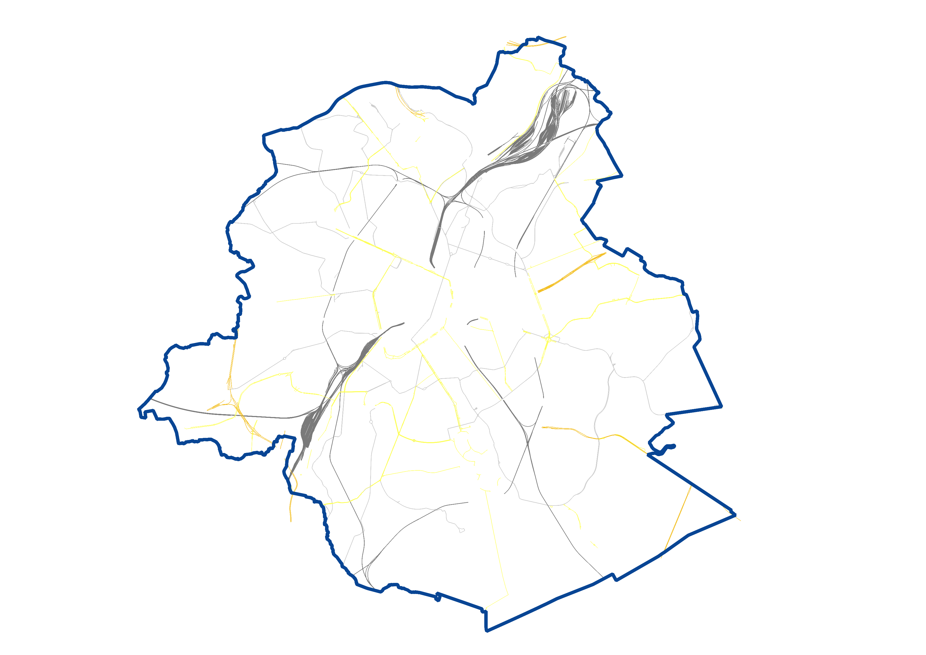
UrbIS - Transport networks corresponds to the dataset of road networks and tram and train networks in the Brussels Region. This dataset is composed of three geometric classes. The first class corresponds to the street axes (some objects located in Flanders have been integrated for visual continuity). The second corresponds to street intersections, and the third corresponds to the rail network.
The dataset is freely downloadable, in the form of zipped shapefiles. The dataset is notably produced by integrating the attribute informations provided by Brussels Mobility.
UrbIS – Réseaux de transport correspond au jeu de données des réseaux routiers et de tram et de train en Région bruxelloise. Ce jeu de données est composé de trois classes géométriques. La première classe correspond aux axes de rues (certains objets situés en Flandre ont été intégrés à des fins de continuité visuelle). La deuxième correspond aux noeuds de rues, et la troisième correspond au réseau ferroviaire.
Le jeu de données est librement téléchargeable, sous forme de shapefiles zippés. Le jeu de données est notamment produit par intégration des informations attributaires fournies par Bruxelles Mobilité.
UrbIS - Vervoersnetwerken komt overeen met de dataset van wegennetwerken en tram en trein netwerken in het Brusselse Gewest. Deze dataset bestaat uit drie geometrische klassen. De eerste klasse komt overeen met de straatassen (sommige objecten in Vlaanderen zijn geïntegreerd voor visuele continuïteit). De tweede komt overeen met punten van straten, en de derde komt overeen met het spoorwegnetwerk.
De dataset kan in de vorm van gezipte shapefiles worden gedownload. De dataset is geproduceerd door het integreren van attribuutinformatie die door Brussel Mobiliteit zijn.
Simple
-
Date (Création)Datum (creatie)Date (Creation)
- 2023-12-01
-
Date (Révision)Datum (revisie)Date (Revision)
- 2026-04-03
-
IdentificateurIdentifierIdentifier
- CIRB-CIBG / af85669e-848b-11ee-a4a0-00090ffe0001
-
EtatStatusStatus
-
FinalisécompleetCompleted
-
Fréquence de mise à jourHerzieningsfrequentieMaintenance and update frequency
-
AnnuellejaarlijksAnnually
-
GEMET Themes
-
-
road transporttransport routierwegvervoer
-
rail transporttransport ferroviairespoorvervoer
-
-
Contraintes d'accès(Juridische) toegangsrestrictieAccess constraints
-
Autres restrictionsandersOther restrictions
-
Other constraintsAutres contraintesOverige beperkingen
-
No limitations to public accessPas de restriction concernant l'accès publicNo limitations on public access
-
Contraintes d'utilisation(Juridische) gebruiksbeperkingUse constraints
-
Autres restrictionsandersOther restrictions
-
Type de représentation spatialeRuimtelijk schemaSpatial representation type
-
VecteurvectorVector
-
Dénominateur de l'échelleToepassingsschaalDenominator
- 25000
-
LangueTaalMetadata language
- Nederlands; Vlaams
-
LangueTaalMetadata language
- Français
-
Jeu de caractèresKaraktersetCharacter set
-
Utf8utf8UTF8
-
Catégorie ISOOnderwerpTopic category
-
-
TransporttransportTransportation
-
-
DescriptionDescriptionOmschrijving
-
Brussels-Capital RegionRégion de Bruxelles-CapitaleBrussel Hoofstedelijk Gewest
))
-
Unique resource identifierCodeCode
-
EPSG:31370EPSG:31370EPSG:31370
-
Format (encodage)Distributie formaatDistribution format
-
Ressource en ligneOnLine bronnenOnLine resource
- https://geoservices-vector.irisnet.be/geoserver/urbisvector/ows?Service=WMS&Version=1.3.0&Request=GetCapabilities&Language=eng https://geoservices-vector.irisnet.be/geoserver/urbisvector/ows?Service=WMS&Version=1.3.0&Request=GetCapabilities&Language=fre https://geoservices-vector.irisnet.be/geoserver/urbisvector/ows?Service=WMS&Version=1.3.0&Request=GetCapabilities&Language=dut ( OGC Web Map Service )
-
Ressource en ligneOnLine bronnenOnLine resource
- https://geoservices-vector.irisnet.be/geoserver/urbisvector/wfs?Service=WFS&Version=2.0.0&Request=GetCapabilities&Language=eng https://geoservices-vector.irisnet.be/geoserver/urbisvector/wfs?Service=WFS&Version=2.0.0&Request=GetCapabilities&Language=fre https://geoservices-vector.irisnet.be/geoserver/urbisvector/wfs?Service=WFS&Version=2.0.0&Request=GetCapabilities&Language=dut ( OGC Web Feature Service )
-
Ressource en ligneOnLine bronnenOnLine resource
- https://urbisdownload.datastore.brussels/atomfeed/af847c40-848b-11ee-9a1f-00090ffe0001-en.xml https://urbisdownload.datastore.brussels/atomfeed/af847c40-848b-11ee-9a1f-00090ffe0001-fr.xml https://urbisdownload.datastore.brussels/atomfeed/af847c40-848b-11ee-9a1f-00090ffe0001-nl.xml ( ATOM Syndication Format )
-
Ressource en ligneOnLine bronnenOnLine resource
- Styles (sld) of the product Styles (sld) du produit Productstijlen (sld) ( WWW:DOWNLOAD-1.0-http--download )
-
NiveauNiveau kwaliteitsbeschrijvingHierarchy level
-
Jeu de donnéesdatasetDataset
Résultat de conformité
Resultaat conformiteit met de specificatie
Conformance result
-
ExplanationExplicationUitleg
-
Degré de conformitéIndicatie van conformiteit met de specificatiePass
- Yes
-
StatementGénéralités sur la provenanceAlgemene beschrijving herkomst
-
This dataset is produced by Paradigm based on aerial photographs and topographical surveys by integrating the attribute informations provided by Brussels Mobility. It takes into account proven errors reported by individual and institutional users.Ce jeu de données est produit par Paradigm sur base de photographies aériennes et de relevés topographiques en intégrant les informations attributaires fournies Bruxelles Mobilité. Il tient compte des erreurs avérées signalées par les utilisateurs particuliers et institutionnels.Deze dataset wordt door Paradigm op basis van luchtfoto's en topografische onderzoeken geproduceerd door de attribuutinformatie van Brussel Mobiliteit te integreren. Er wordt rekening gehouden met bewezen fouten die door individuele en institutionele gebruikers zijn gerapporteerd.
-
Identifiant de la ficheMetadata IDFile identifier
- af847c40-848b-11ee-9a1f-00090ffe0001 XML
-
LangueTaalMetadata language
- English
-
Jeu de caractèresKaraktersetCharacter set
-
Utf8utf8UTF8
- Parent identifier
- UrbIS - Vector f3ad5174-4a86-11ef-b009-010101010000
-
Type de ressourceHierarchisch niveauHierarchy level
-
Jeu de donnéesdatasetDataset
-
Date des métadonnéesMetadata datumDate stamp
- 2026-04-07T07:53:20
- Metadata standard name
- Brussels INSPIRE metadata profil
Overviews
Spatial extent
Provided by
