 Geobru catalogue
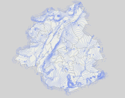
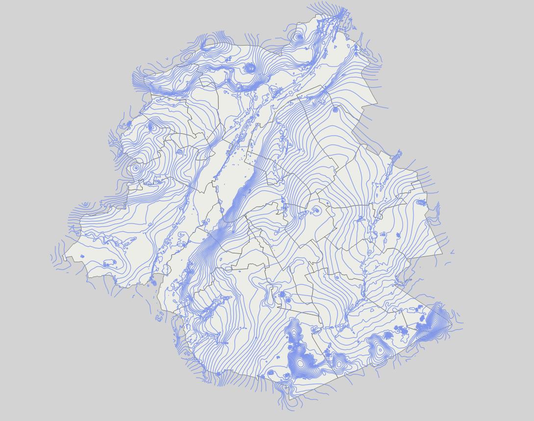
Map of the absolute piezometric phreatic levels (May 2013)
Brussels-Capital Region: Map of the absolute piezometric phreatic levels (May 2013) obtained with the combination of the piezometric levels of the following hydrogeological units of the Brussels phreatic system:
- UH/RBC_1 Quaternary aquifer system: US/RBC_14 Silts, sands and alluvial gravels ;
- UH/RBC_2 Perched sandy aquifer system (Diest Fm, Bolderberg Fm, Sint-Huibrechts-Hern Fm and Onderdale Member);
- UH/RBC_4 Aquifer system of the Wemmel, Lede, Brussels and Vlierzele sands (or better known as the Bruxellian sands);
- UH/RBC_6 Aquitard of Tielt sands and clays ;
- UH/RBC_7 Kortrijk Sand and Clay Aquitard System (Moen Member);
This map thus includes the absolute piezometric levels of the most superficial aquifer units, in order to map the level of the "piezometric groundwater surface". The piezometric levels (in m-DNG/TAW) are represented by level lines (isopiezes) separated by a 2m step. These data are limited to the borders of the Brussels-Capital Region extended by a 500m buffer zone. These data are extracted from the Brussels Phreatic System Model v1.0 (BPSM v1.0) hydrogeological model, developed under FEFLOW 7.1 ®.
This data is generated from models and may contain errors, inaccuracies and gaps. It has informative value and may under no circumstances replace a study carried out by an expert. Bruxelles Environnement cannot be held liable for the consequences of the use of this information.
Simple
- Date (Publication)
- 2019-03-07
- Date (Revision)
- 2019-03-07
- Date (Creation)
- 2019-03-07
- Identifier
- Bruxelles Environnement / Leefmilieu Brussel / BRU_ENVI_d19a594f-b06e-4da3-b830-2bd5323fd3e3
- Maintenance and update frequency
- As needed
- GeoBru Administrative Regions
-
- Belgium
- Région de Bruxelles-Capitale
- Access constraints
- Other restrictions
- Other constraints
- No limitations to public access
- Use constraints
- Other restrictions
- Other constraints
- Creative Commons Attribution (CC-BY) - required citation of data source. The full license is available here: https://creativecommons.org/licenses/by/4.0/legalcode
- Spatial representation type
- Vector
- Denominator
- 500
- Metadata language
- Français
- Topic category
-
- Geoscientific information
))
- gml32:beginPosition
- 2019-03-07
- gml32:endPosition
- 2024-01-01
- Unique resource identifier
- EPSG:31370
- Distribution format
-
-
GML
()
-
GML
()
- OnLine resource
- Service de téléchargement (WFS) des données de Bruxelles Environnement ( OGC:WFS )
- Hierarchy level
- Dataset
Conformance result
- Date (Publication)
- 2010-12-08
- Explanation
- The dataset does not fullfill the minimal requirements
- Pass
- No
- Statement
- Bruxelles Environnement / Leefmilieu Brussel
- File identifier
- d19a594f-b06e-4da3-b830-2bd5323fd3e3 XML
- Metadata language
- Français
- Character set
- MD_CharacterSetCode_utf8
- Hierarchy level
- Dataset
- Date stamp
- 2024-03-08T12:51:38
- Metadata standard name
- ISO19115
- Metadata standard version
- 2003/Cor.1:2006
Overviews
Spatial extent
Provided by
