 Geobru catalogue
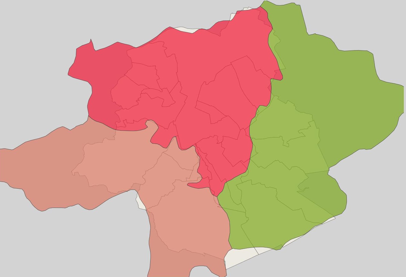
Sub-drainage-basin (or catchment area) of the rivers
Brussels-Capital Region: extent of sub-drainage-basin (or sub-catchment area) of the rivers in the Brussels Region and surrounding area
Simple
- Date (Publication)
- 2004-09-04
- Date (Revision)
- 2004-09-04
- Date (Creation)
- 2004-09-04
- Identifier
- BE.IBGE / BRU_ENVI_Sous_bassin_hydro.xml
- Maintenance and update frequency
- As needed
- GeoBru Administrative Regions
-
- Belgium
- Région de Bruxelles-Capitale
- Access constraints
- Other restrictions
- Other constraints
- No limitations to public access
- Use constraints
- Other restrictions
- Other constraints
- Creative Commons Attribution (CC-BY) - required citation of data source. The full license is available here: https://creativecommons.org/licenses/by/4.0/legalcode
- Spatial representation type
- Vector
- Denominator
- 1000
- Metadata language
- Français
- Topic category
-
- Inland waters
N
S
E
W
))
- gml32:beginPosition
- 2004-09-04
- gml32:endPosition
- 2018-01-01
- Unique resource identifier
- EPSG:31370
- Distribution format
-
-
GML
()
-
GML
()
- OnLine resource
- http://wfs.ibgebim.be/ibgewfs?SERVICE=WFS&VERSION=1.0.0&REQUEST=GetFeature&TYPENAME=IBGE%3Awsl_bruenvi_water_watershed&SRSNAME=EPSG%3A31370
- OnLine resource
- WMS BRUENVI FR ( OGC:WMS )
- Hierarchy level
- Dataset
Conformance result
- Date (Publication)
- 2010-12-08
- Explanation
- The dataset does not fullfill the minimal requirements
- Pass
- No
- Statement
- Bruxelles Environnement / Leefmilieu Brussel
- File identifier
- Sous_bassin_hydro.xml XML
- Metadata language
- Français
- Character set
- MD_CharacterSetCode_utf8
- Hierarchy level
- Dataset
- Date stamp
- 2024-03-08T13:03:10
- Metadata standard name
- ISO19115
- Metadata standard version
- 2003/Cor.1:2006
Overviews

thumbnail
large_thumbnail
Spatial extent
N
S
E
W
Provided by

Associated resources
Not available